Bezienswaardigheid · Co. Galway
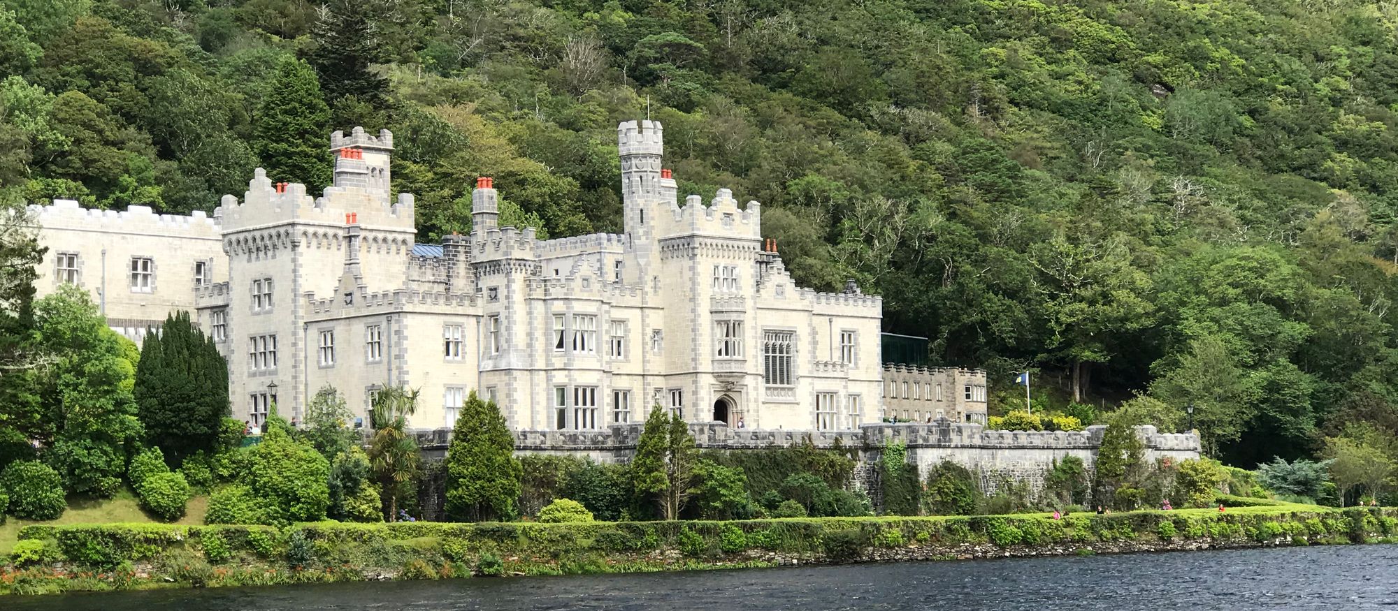
Kylemore Abbey
Kylemore Abbey in Connemara is a working Benedictine monastery and former castle on the N59. It offers ticketed gardens and castle tours, free shore views, and quiet church access near Letterfrack.
Wandeling · Co. Galway
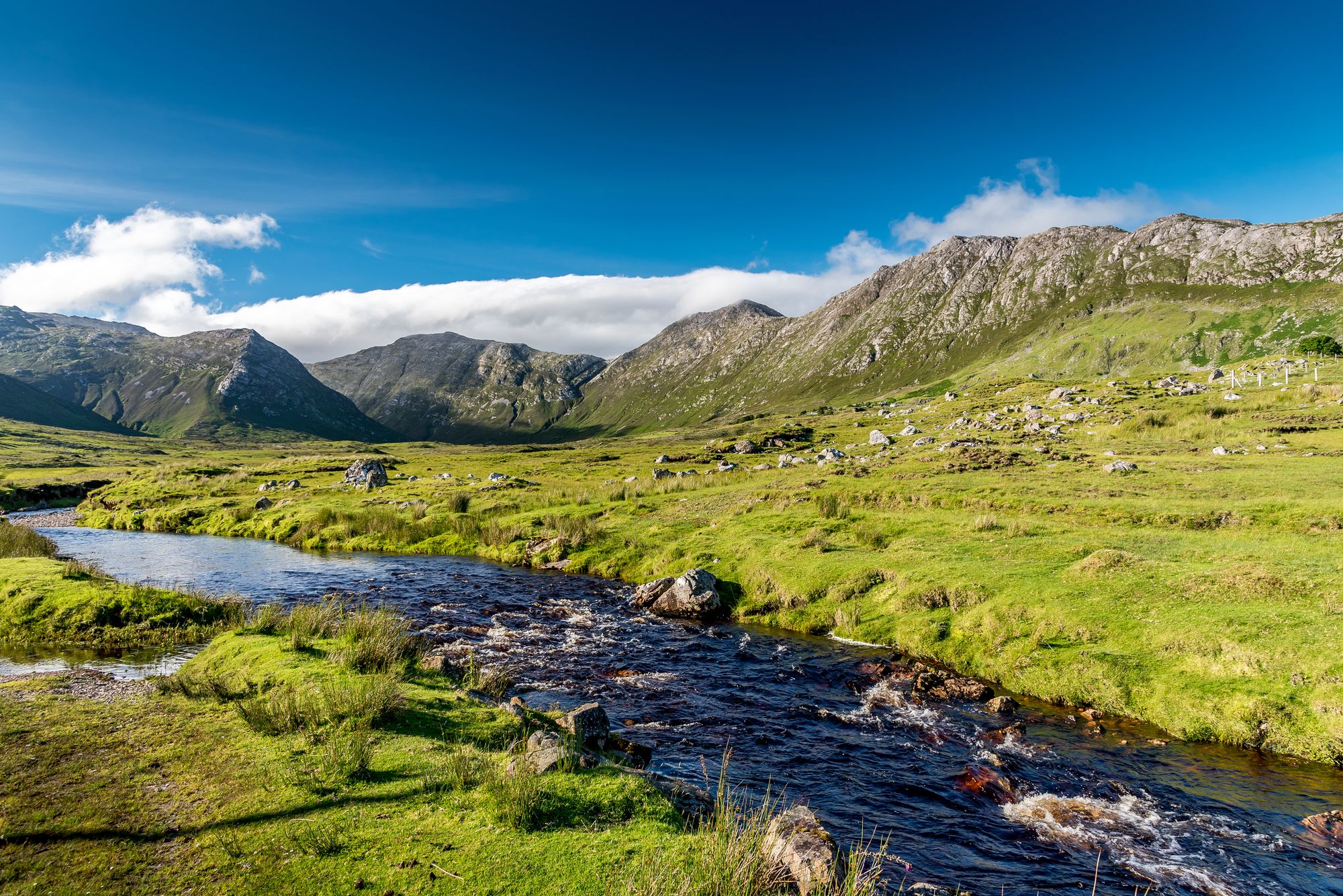
The Twelve Bens (Benna Beola) in Connemara National Park feature sharp quartzite peaks, with Benbaun at 729 m. The 16-km Glencoaghan Horseshoe is a 8–9 hour ridge-walk, and the range is a 16,163-hectare Special Area of Conservation.
The Twelve Bens, County galway — photo by Louis-Michel Desert
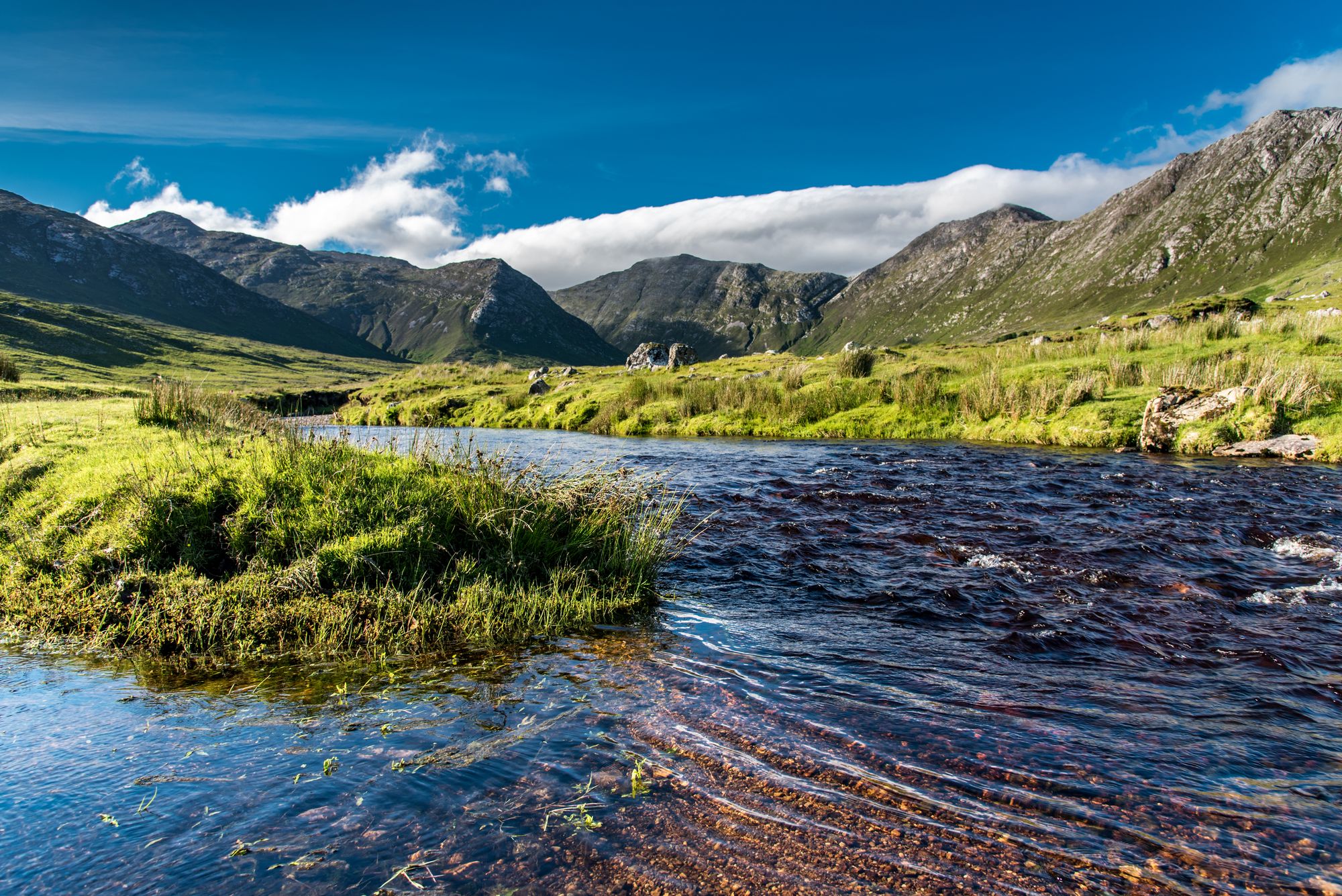
Locals call them the Twelve Pins or the Benna Beola. In Irish, Na Beanna Beola translates to “the peaks of Beola.” These sharp-peaked quartzite summits sit within Connemara National Park in County Galway. Benbaun is the highest point, standing at 729 metres. The rock here is quartzite in its purest form. You see the bare peaks, the connecting ridges, and the bog they rise from. Hiking up this range is the main outdoor activity in the Connemara area.
The official boundaries are broader than most hikers realize. They include the Garraun Complex to the north and several isolated peaks to the west. The entire area is a 16,163-hectare Special Area of Conservation. This status protects the landscape we see today. The walking route follows the boundary line. Topographically, the range pairs with the Maumturks to the east of the Inagh valley. Together, these two ranges form the Connemara mountains, with the Inagh river between them.
Hill-walkers flock to this area for a reason. The Glencoaghan Horseshoe is a 16-kilometre route. It takes 8–9 hours to complete. Many consider it one of the best ridge-walks in Ireland. The path circles the central bowl, crossing the quartzite peaks and descending the other side. It is the definitive walk for this range. Expect a full day out. You will see the peaks in a circle, with light hitting the bog between them. Weather is the critical factor. The peaks are bare, and the ridges offer no shelter. Always check the forecast before you set out.
The Twelve Bens are located in Connemara National Park. It is a drive from Galway city and Clifden. The standard approach starts from the Glen Akecliff country. The Glencoaghan Horseshoe requires a full day, including time on the peaks. The terrain is open ground with no cover. Check the forecast before the walk. The quartzite is rough underfoot when wet.
Waar logeren
Clifden or the Inagh villages put the peaks, the bog and the Horseshoe all within a drive — the full day is the point.
Bekijk de actuele beschikbaarheid voor je data. Beschikbaarheid en prijzen komen van de aanbieder, niet van ons.
Kylemore Abbey in Connemara is a working Benedictine monastery and former castle on the N59. It offers ticketed gardens and castle tours, free shore views, and quiet church access near Letterfrack.
Athenry, 25 km east of Galway, preserves its 13th-century layout, town wall, castle, and priory. The medieval town is also famous for the song "The Fields of Athenry."
Built in 1754 on Ballynahinch Lake, this former country house sits beneath Benlettery (557 metres) in County Galway. Once home to "Humanity Dick" and the Maharaja Jam Sahib, it operates today as a hotel within a private estate.
Carna is a Gaeltacht focal point in west Connemara, 74 km from Galway. It holds a Garda station, health centre, lifeboat, and university research facilities.