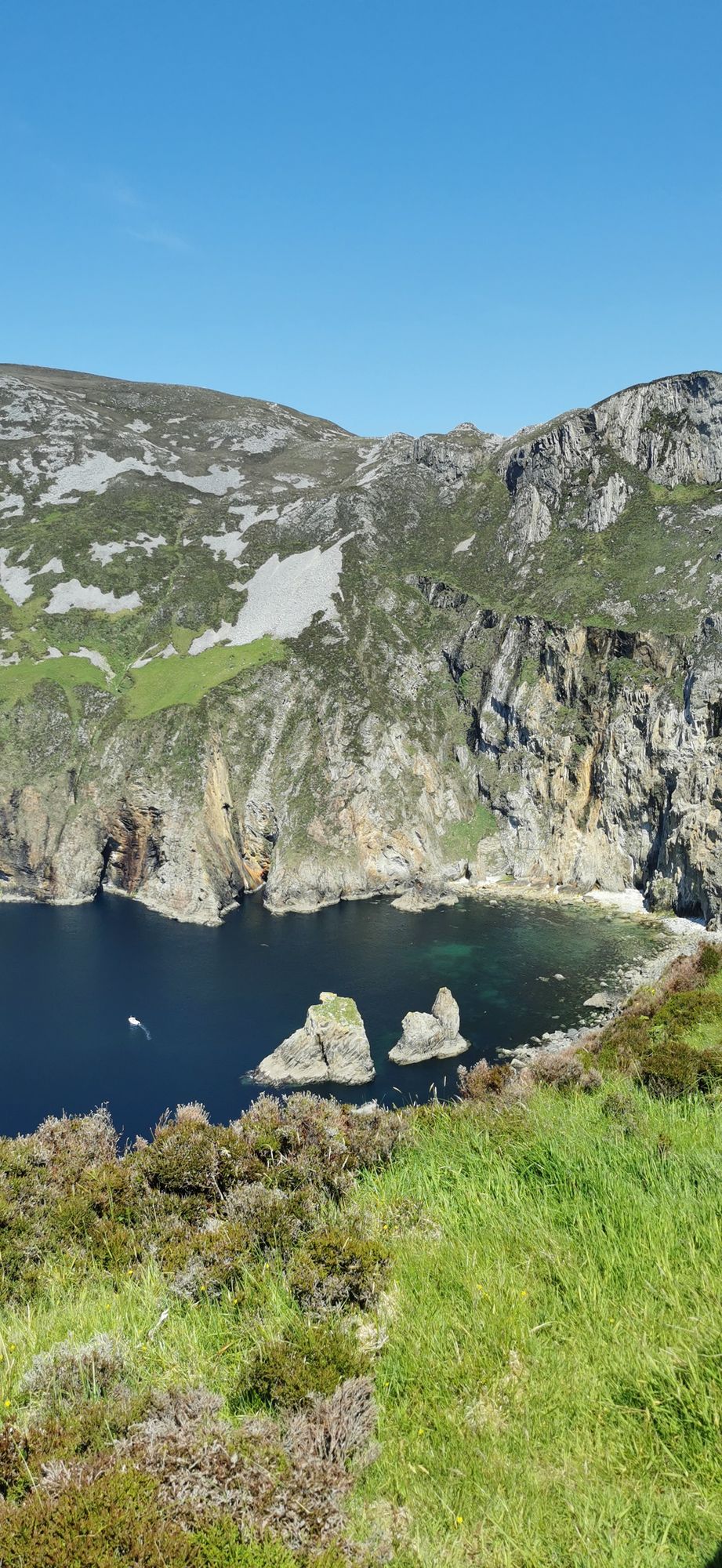
Slieve League
Slieve League in southwest Donegal drops roughly 600 metres into the Atlantic, making it one of Europe's highest sea cliffs. The full scale is best experienced from the foot, reached via a two-hour walk from the Meenaleck car park.
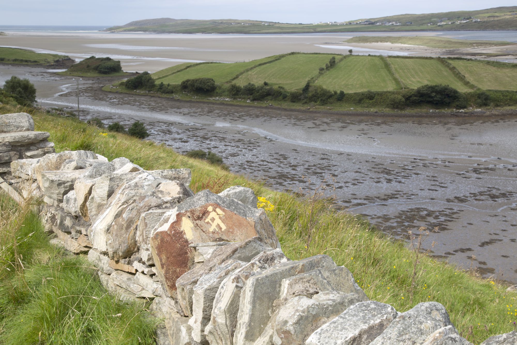
Graafschap · North Atlantic

Slieve League in southwest Donegal drops roughly 600 metres into the Atlantic, making it one of Europe's highest sea cliffs. The full scale is best experienced from the foot, reached via a two-hour walk from the Meenaleck car park.

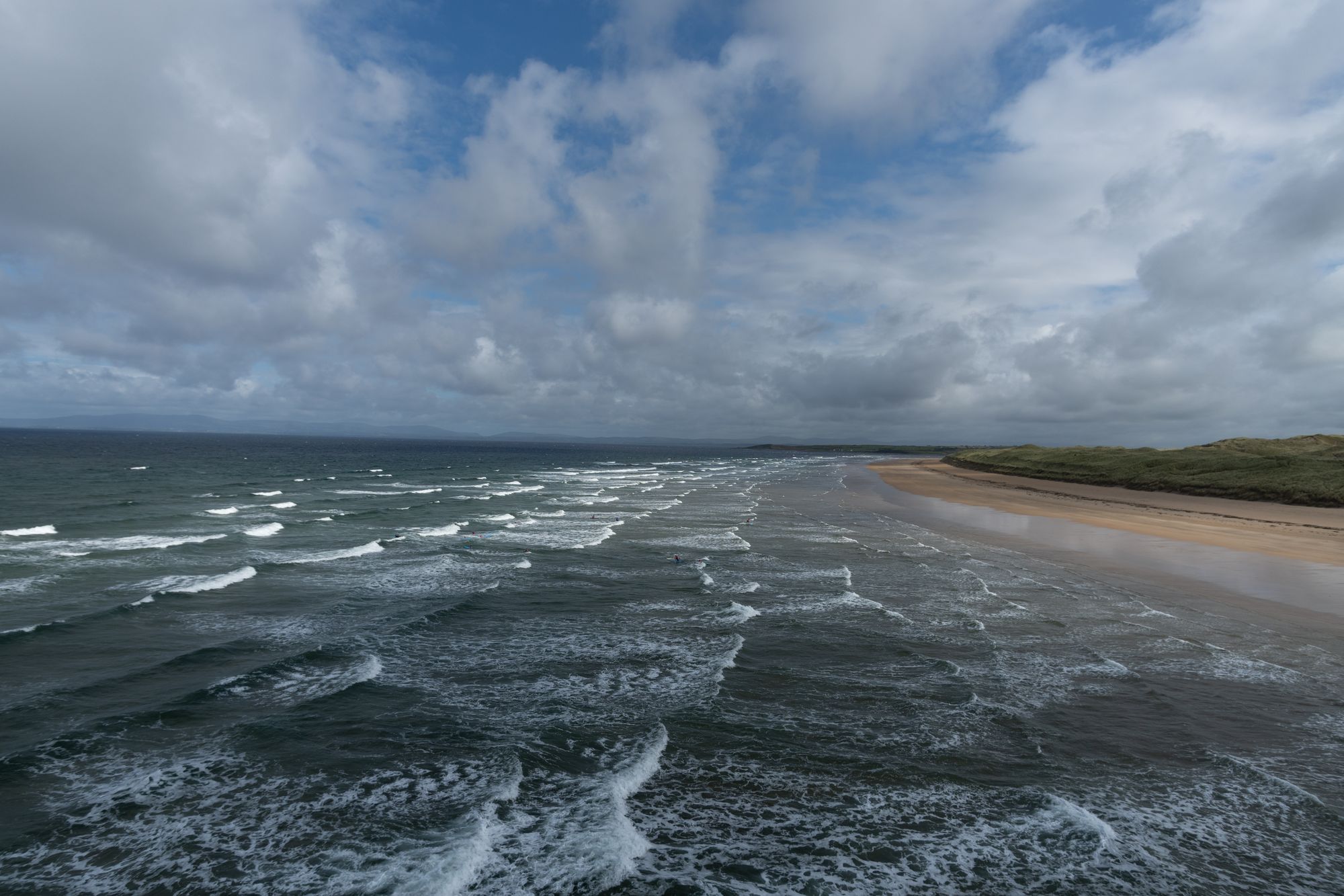
Ardara is a small south-west Donegal town on the N56, named by The Irish Times in 2012 as the best village in which to live in Ireland. It serves as a practical base for the Bluestack Mountains and the west coast.
Buncrana is Donegal’s second-largest town, sitting on the Inishowen shore of Lough Swilly. It features the historic O’Doherty’s Keep and a rich textile heritage, serving as a practical base for exploring the peninsula.

Bundoran, County Donegal’s most southerly town, is a historic seaside resort named after the Doran River. It is a National Geographic top 20 surf town and the site where Mícheál Ó Cléirigh helped compile the Annals of the Four Masters.
Carndonagh is the central hub for Inishowen's north coast, combining a 2,768-person village with easy access to Trawbreaga Bay, Atlantic beaches, and inland glens.
Derryveagh in southwest Donegal offers a mix of coastal glens and rough mountains, protected as a national park. It is a wild, remote area best explored on foot, with Dungloe serving as the nearest base.

Donegal Bay spans three counties, featuring the town of Donegal and the River Eske at its head. It offers a varied coastline for touring, from calm estuary waters to the open Atlantic.
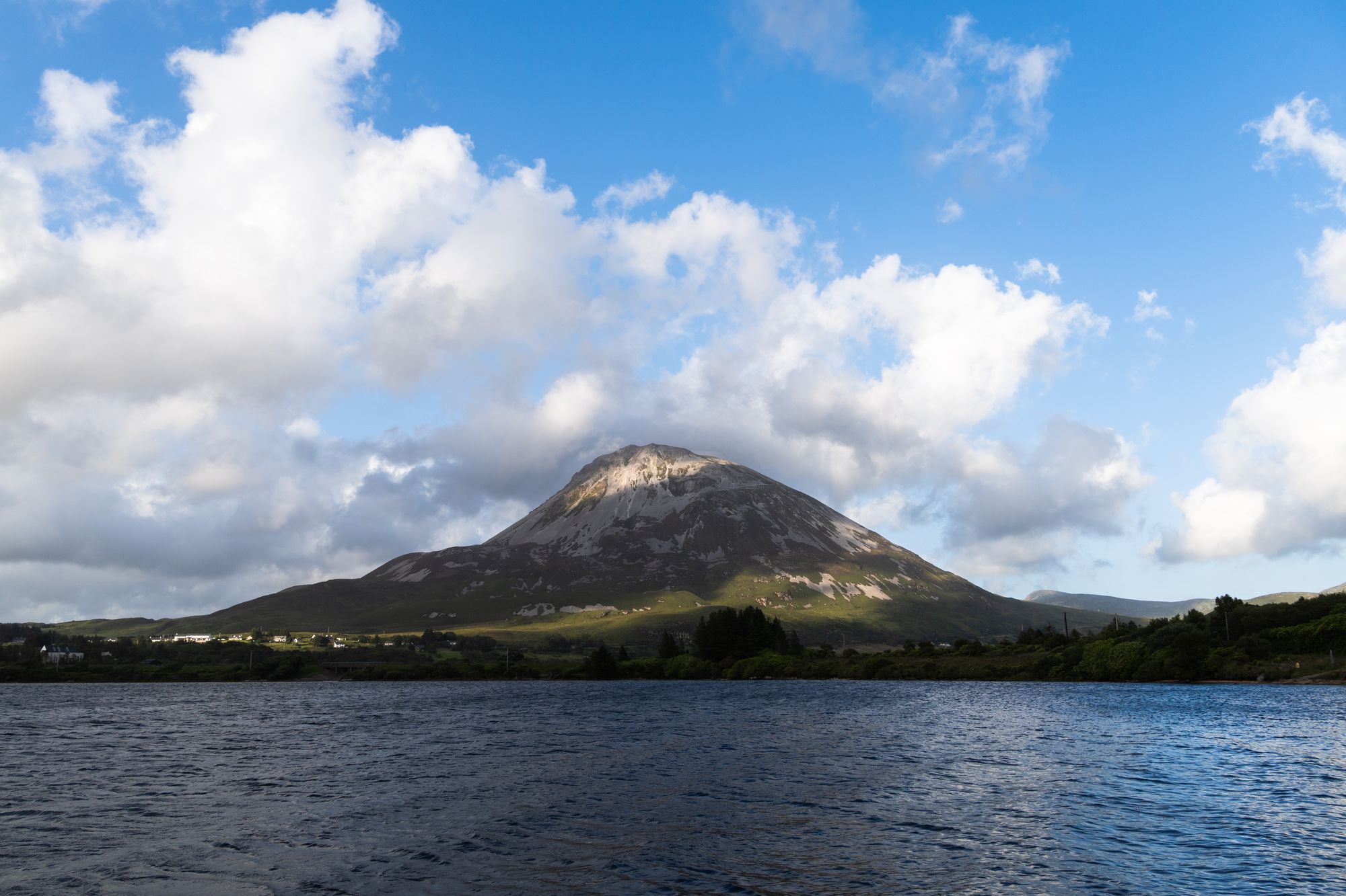
Dunlewy sits in the Poisoned Glen at the foot of Errigal, beside Dunlewey Lough. Boat trips depart from the lakeside centre, while the castle ruins sit on the far shore. Irish remains the daily language of the village.
Dunree is a small townland in north-west Inishowen featuring a short cliff-top walk with views of the Atlantic and the lough. The area offers a quiet, direct experience suitable for a quick stop during a touring day.

Errigal, the 751-metre high point of County Donegal, rises above Gweedore as the southernmost of the Seven Sisters. The route ascends from the Poisoned Glen, offering a full-day experience with sweeping views of the Derryveagh country.
Gleann Cholm Cille is a small Gaeltacht district in County Donegal named for Saint Colm Cille. It features the village of Cashel, sandy Atlantic beaches, and a coast where Irish remains a daily language for many residents.
Glenveagh is the second-largest national park in Ireland, covering 170 square kilometres in County Donegal. It features the Derryveagh Mountains, Lough Veagh, and Glenveagh Castle, which carries a heavy history of 1861 evictions.
Gortahork is a small Gaeltacht village in the Cloughaneely district, three kilometres from Falcarragh. It serves as a practical base for walking in the Errigal foothills, with Irish remaining the primary language.
Inver sits on the N56 between Donegal and Killybegs, a civil parish in the Banagh barony. It offers a base for the south-west coast road and Bluestack walks, with shops and a pub within a short walk.
Lough Swilly is a long, narrow glacial fjord in County Donegal, stretching between the Inishowen and Fanad peninsulas. It connects the Atlantic Ocean to the River Swilly, with Buncrana, Rathmullan, and Letterkenny along its shores.

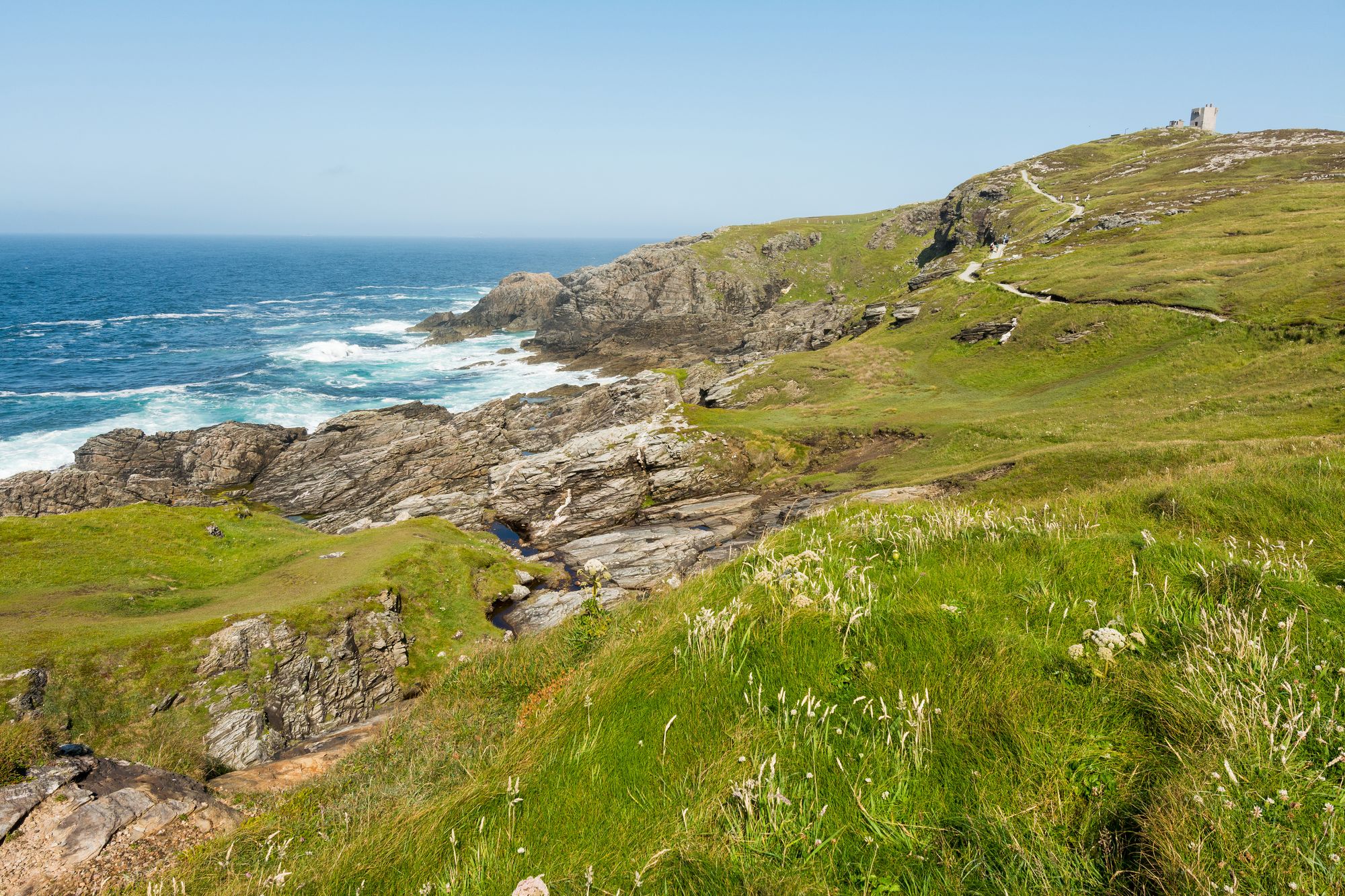
Malin Head marks the northern start of the Wild Atlantic Way. Visitors find a lighthouse, a tenth-century cross, and wide views of two seas at this low, rounded headland.
Muckish is a 667 m flat-topped mountain in the Derryveagh range, known for its quartz mining history and a Bronze Age court tomb marked by a summit cairn.
Rathmullan is the Fanad Peninsula village where the Flight of the Earls began on 14 September 1607. The 1516 Carmelite friary ruins and the lough views are short walks from the quay.

Teelin is a small Gaeltacht village at the base of Slieve League in southwest Donegal. It serves as the primary access point for the cliff walk and sits at the north-west end of Donegal Bay.
Fahan is an Inishowen district five kilometres south of Buncrana, known for its early Christian monastery, a surviving cross-slab, and the forested river valley leading to the marina.
Monday 16 November 2026, 09:00