Slieve League
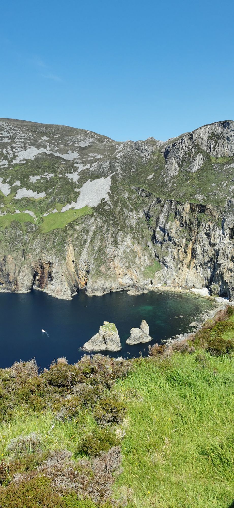
Slieve League in southwest Donegal drops roughly 600 metres into the Atlantic, making it one of Europe's highest sea cliffs. The full scale is best experienced from the foot, reached via a two-hour walk from the Meenaleck car park.

Dorp · Co. Donegal
Teelin is a small Gaeltacht village at the base of Slieve League in southwest Donegal. It serves as the primary access point for the cliff walk and sits at the north-west end of Donegal Bay.
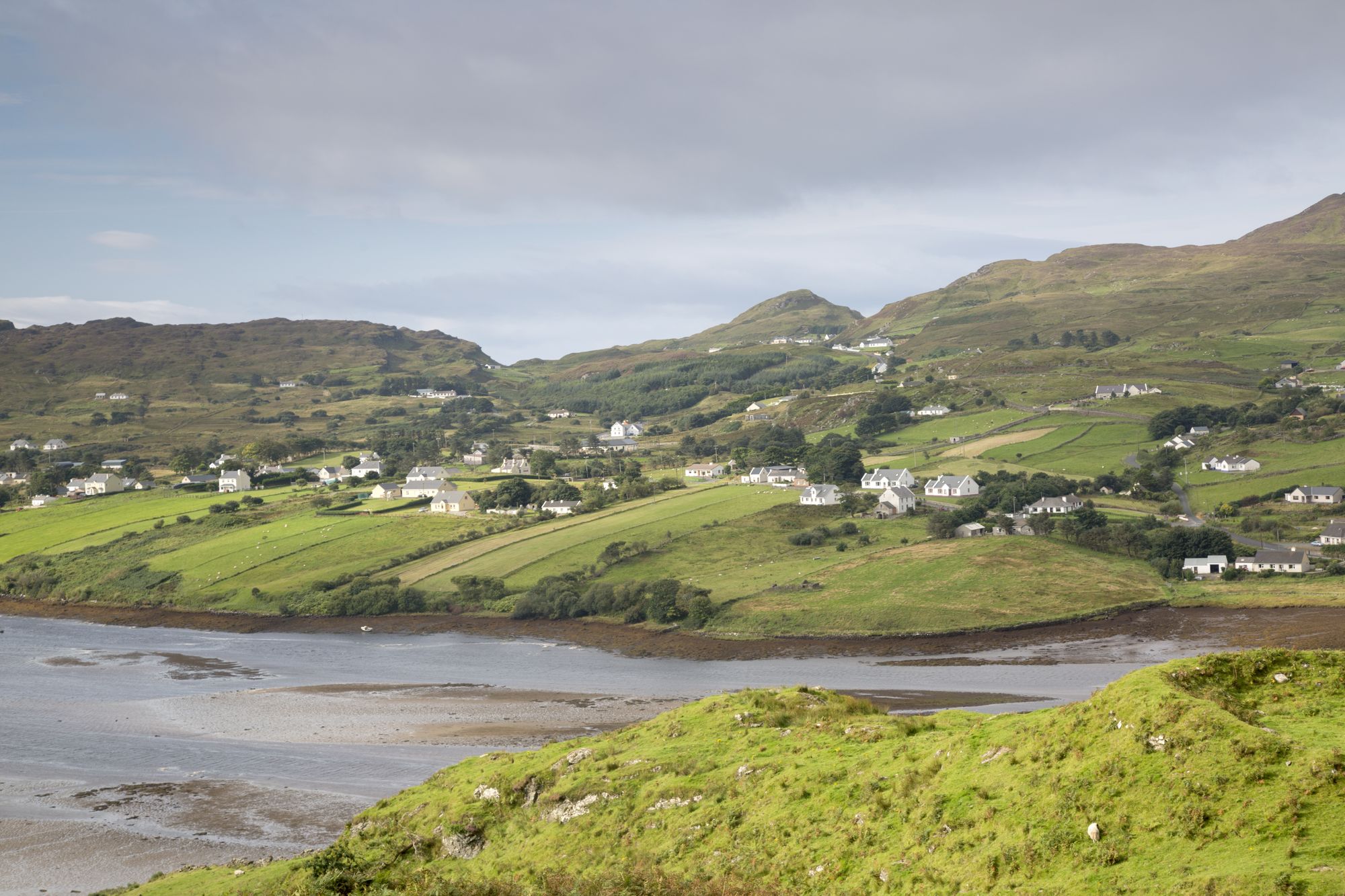
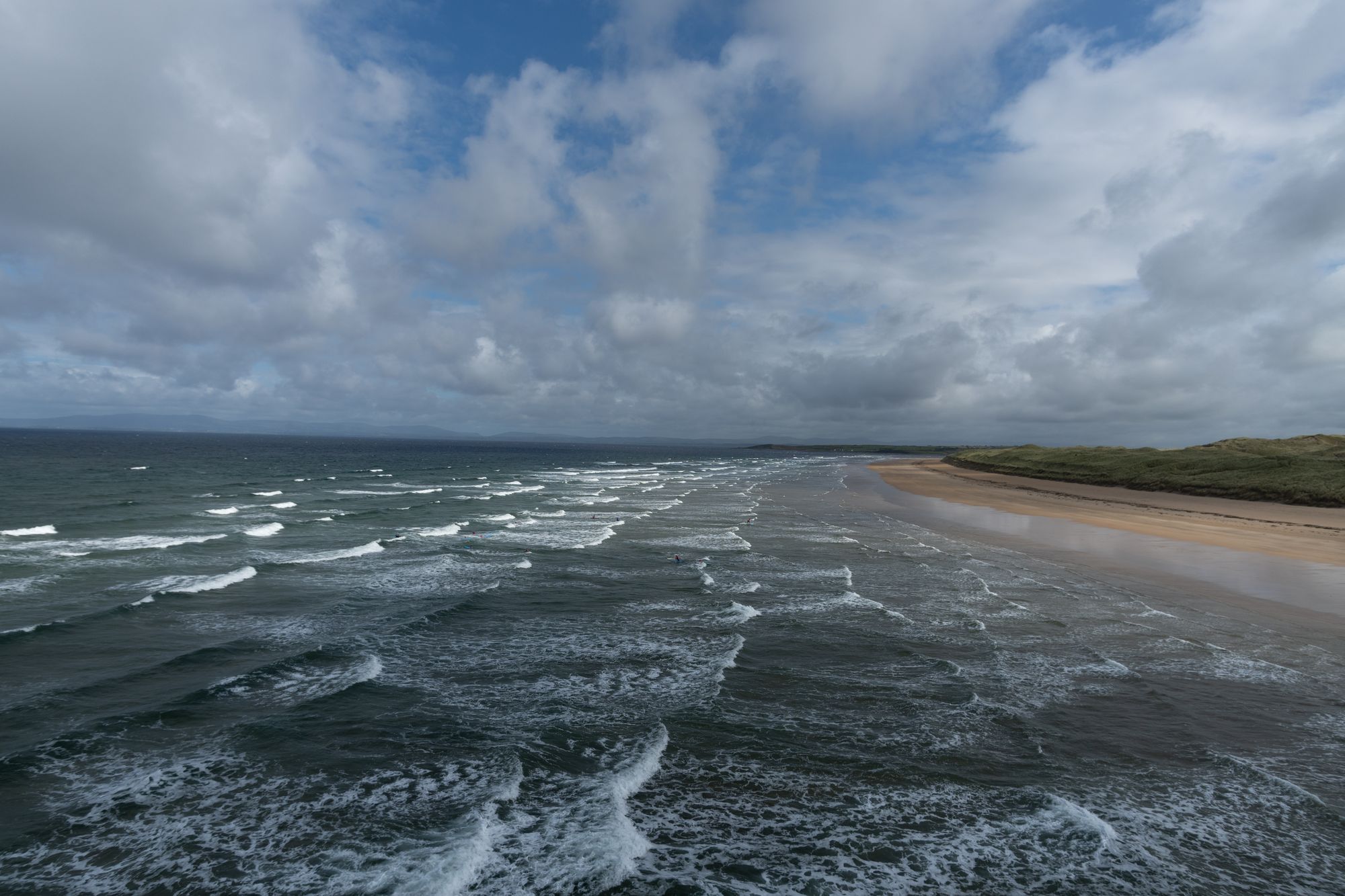
Teelin, County Donegal — photo by kevers50


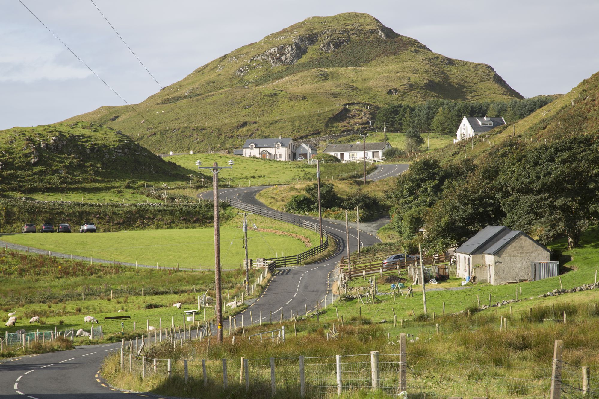
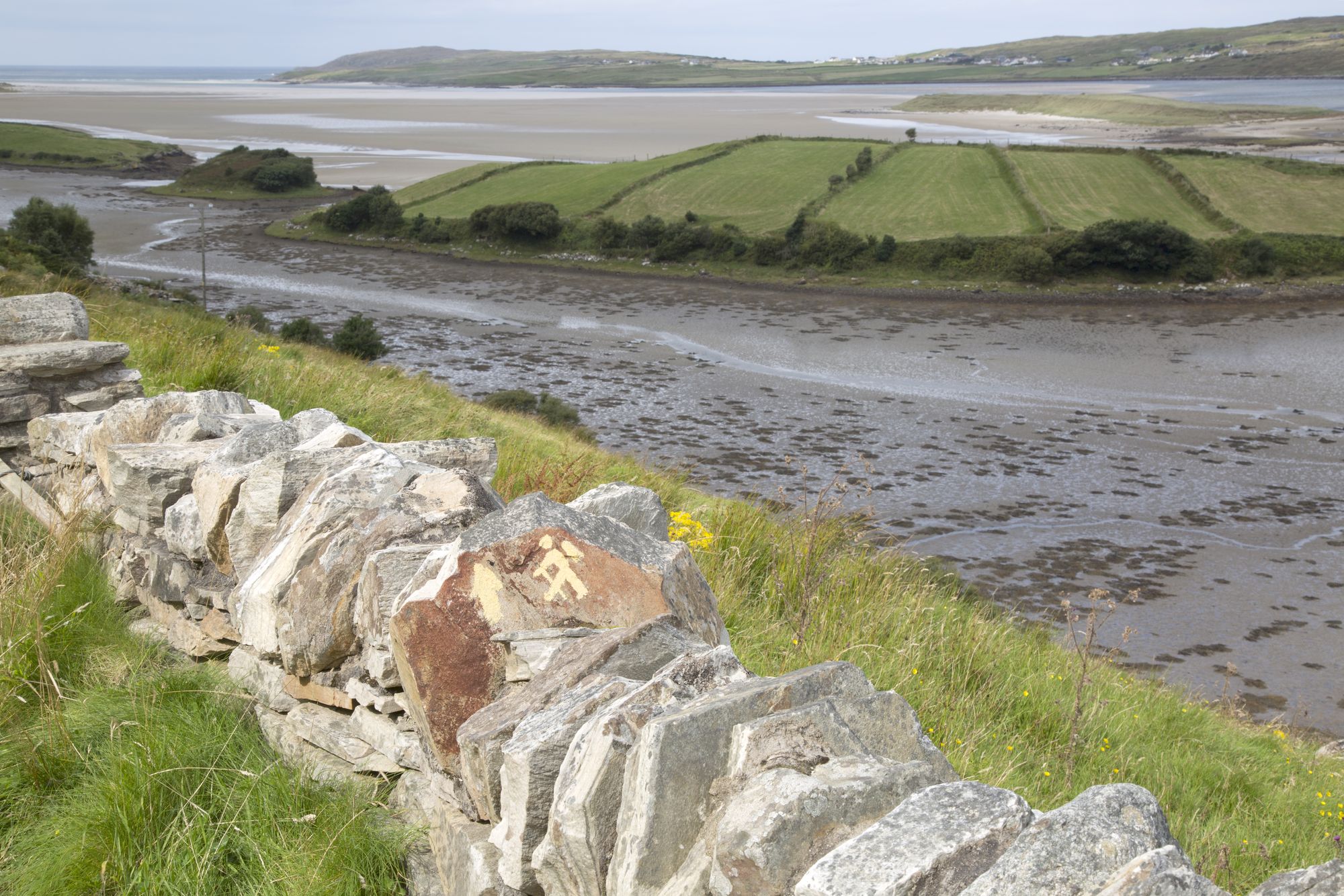
Teelin, known in Irish as Teileann, sits in the southwest of County Donegal. It marks the north-west end of Donegal Bay, right at the foot of Slieve League. The population hovers between two hundred and fifty and three hundred people. It is small. You pass through, stop for a moment, and move on. The village does exactly what it needs to do. It is the natural start and end point for the Slieve League country. The cliff walk, the falls, and the bay are all within a short drive.
The village sits at the base of the cliffs. Most people come here for the walk that climbs to the top of Slieve League. From the summit, the north-west end of Donegal Bay opens up completely. You see the sea, the waterfalls where gullies cut through the rock, and the far shore bending away toward Sligo. It is a view that doesn't need a caption.
Teelin is in the Gaeltacht. Like its neighbors, it keeps Irish as a living language. The village is unshowy about it. The school, the shop, and the church carry the language day to day. The wider Donegal Gaeltacht provides the context. It is the last great Irish-speaking region in the country.
Allow two to three hours for the cliff walk and the village. Pair it with the bay. The drive along the coast from Teelin to the Rosses is as good as anything in the county. The two make a full day.
Waar logeren
A base in Sligo or Donegal puts the cliffs and the whole bay inside the day.
Bekijk de actuele beschikbaarheid voor je data. Beschikbaarheid en prijzen komen van de aanbieder, niet van ons.

Slieve League in southwest Donegal drops roughly 600 metres into the Atlantic, making it one of Europe's highest sea cliffs. The full scale is best experienced from the foot, reached via a two-hour walk from the Meenaleck car park.

Ardara is a small south-west Donegal town on the N56, named by The Irish Times in 2012 as the best village in which to live in Ireland. It serves as a practical base for the Bluestack Mountains and the west coast.
Buncrana is Donegal’s second-largest town, sitting on the Inishowen shore of Lough Swilly. It features the historic O’Doherty’s Keep and a rich textile heritage, serving as a practical base for exploring the peninsula.

Bundoran, County Donegal’s most southerly town, is a historic seaside resort named after the Doran River. It is a National Geographic top 20 surf town and the site where Mícheál Ó Cléirigh helped compile the Annals of the Four Masters.