Dorp · Co. Donegal

Buncrana

Buncrana is Donegal’s second-largest town, sitting on the Inishowen shore of Lough Swilly. It features the historic O’Doherty’s Keep and a rich textile heritage, serving as a practical base for exploring the peninsula.

The town

Buncrana takes its name from Bun Cranncha, which translates to “foot of the River Crana.” It sits in Inishowen, north County Donegal, on the eastern edge of Lough Swilly. The town is twenty-three kilometres north-west of Derry and forty-three kilometres north of Letterkenny. With a 2022 census population of 6,971, it ranks as the second most populous town in County Donegal after Letterkenny. It is also the largest town in Inishowen.

The place functions as the practical hub for the peninsula. You’ll find the shops, fuel stations, and a wide range of accommodation here. The lough is right at its doorstep.

The keep

History concentrates at the mouth of the River Crana. O’Doherty’s Keep stands on the northern bank, a three-storey structure where the lough opens out. It is the only surviving part of an original fourteenth-century Norman castle. The town was the historic home of the Ó Dochartaigh, or O’Doherty, clan. They originally developed around that defensive tower.

The town moved to its present location just south of the river in 1718. George Vaughan laid out the current Main Street then. The keep remains the anchor for the local story. The walk from the town centre to the structure is short.

The trade

Textiles shaped Buncrana’s modern identity. The industry was a major centre in County Donegal from the nineteenth century until the mid-2000s. The town’s name is still made in the cloth the county is known for. The trade built the town much like the lough did. The water, the commerce, and the workers defined the place.

Today, Buncrana acts as the base for the whole Inishowen circuit. The lough esplanade offers an easy way to see what the water has meant to the area.

Practical

Allow a full day for the visit. See the keep in the morning. Spend time on the lough and the esplanade. Explore the Inishowen villages in the afternoon. Pair the trip with Fahan and Rathmullan for a complete lough day.

Bronnen & verificatie

🧭 Route plannen

Waar logeren

The town at the head of the lough

Stay in the town and the keep, the lough and the Inishowen villages are all inside the day.

  • BuncranaThe town itself — B&Bs, a hotel and self-catering, at the head of the lough. · in the town
  • LetterkennyThe bigger town to the south, for a larger base and the Inishowen circuit. · 50 min by car
See stays in Buncrana ↗

Bekijk de actuele beschikbaarheid voor je data. Beschikbaarheid en prijzen komen van de aanbieder, niet van ons.

Meer in Donegal

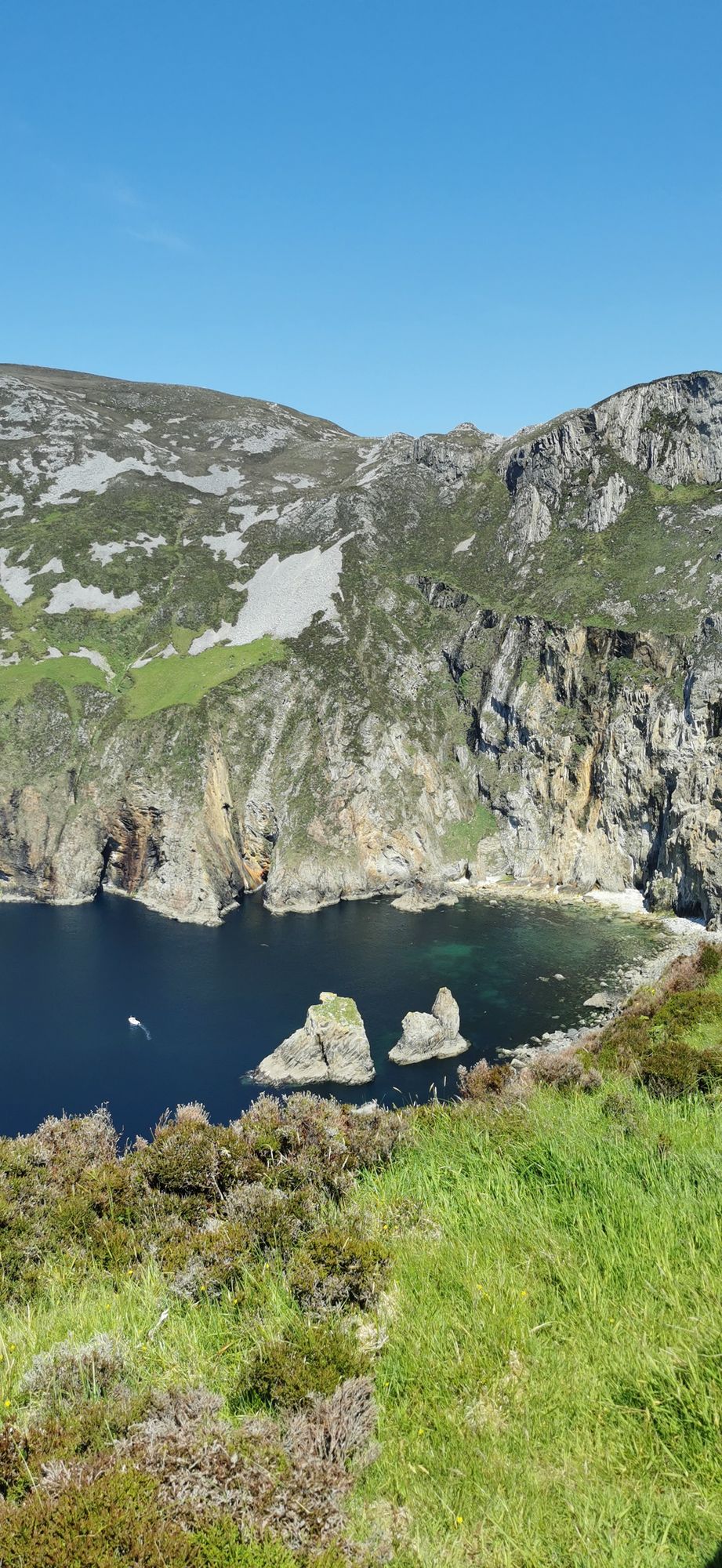
The turquoise sea below the cliff faces of Slieve League in County Donegal
Neus · Co. Donegal

Slieve League

Slieve League in southwest Donegal drops roughly 600 metres into the Atlantic, making it one of Europe's highest sea cliffs. The full scale is best experienced from the foot, reached via a two-hour walk from the Meenaleck car park.

Free to visit; a small parking charge may apply at the car park.· Reserveer 2–3 hours including the walk to the foot of the cliffs
The village road at Ardara, County Donegal
Dorp · Co. Donegal

Ardara

Ardara is a small south-west Donegal town on the N56, named by The Irish Times in 2012 as the best village in which to live in Ireland. It serves as a practical base for the Bluestack Mountains and the west coast.

The town and the walks are free; there are no ticketed sites, as last known.
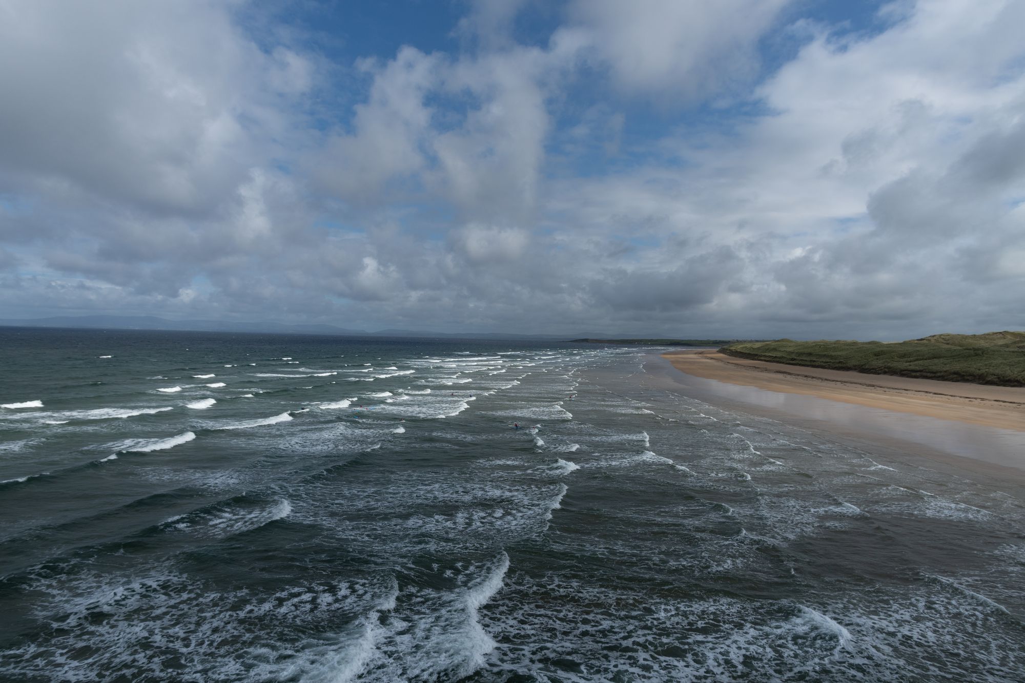
Tullan Strand beach at Bundoran, County Donegal
Dorp · Co. Donegal

Bundoran

Bundoran, County Donegal’s most southerly town, is a historic seaside resort named after the Doran River. It is a National Geographic top 20 surf town and the site where Mícheál Ó Cléirigh helped compile the Annals of the Four Masters.

The town and the beach are free; the surf schools and the boat trips are paid — check current operators and prices before travelling.
Dorp · Co. Donegal

Carndonagh

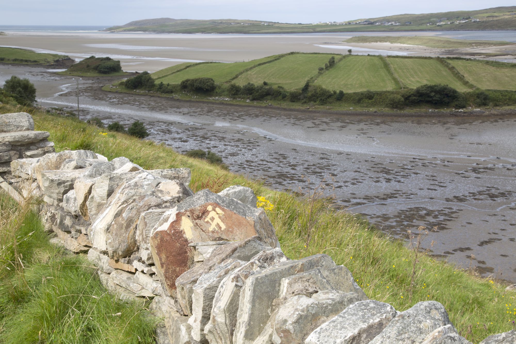
Carndonagh is the central hub for Inishowen's north coast, combining a 2,768-person village with easy access to Trawbreaga Bay, Atlantic beaches, and inland glens.

The village, the bay and the coast road are free; the glen walks are open country with no charge, as last known.