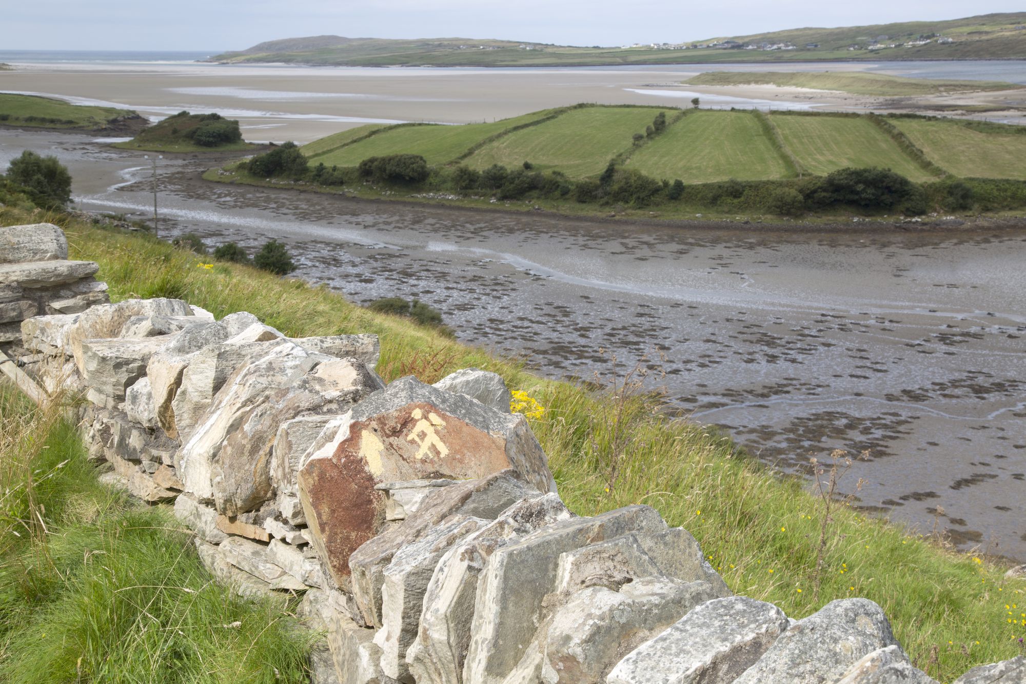
The village road at Ardara, County Donegal

Dorp · Co. Donegal

Ardara

Ardara is a small south-west Donegal town on the N56, named by The Irish Times in 2012 as the best village in which to live in Ireland. It serves as a practical base for the Bluestack Mountains and the west coast.

Ardara, County Donegal — photo by kevers50

The town

Ardara sits on the N56 and R261, roughly twenty-five kilometres north-west of Donegal town. The 2022 census counted 785 people living there, up from 731 in 2011. That jump represents about a thirty per cent increase since 2006, which is significant for a place this size. In 2012, The Irish Times named it the best village in which to live in Ireland. The label has stuck. It is an easy town to read. Shops, fuel, the pub, and the school all fall within a ten-minute walk of the centre.

The country around it

The Bluestack Mountains rise directly behind the town. This range is the other reason Ardara exists. Day walks into the peaks are short enough to complete in one go, yet wild enough to justify the drive. The west coast offers the other half of the day. Bays, headlands, and small settlements dot the shoreline. Because the N56 runs straight through the middle, Ardara is on the way rather than out of the way. That distinction changes a stop into a base.

Why people stay

The census figures and the 2012 title point to the same fact: residents move here and remain. The town is quiet enough to rest but large enough for daily needs. The landscape around it, with the Bluestacks to the east and the coast to the west, requires little alteration. It stands as the practical choice for anyone touring south-west Donegal.

Practical

Allow a full day. Spend the morning in the town. Take a Bluestack walk or drive the coast in the afternoon. Pair Ardara with Inver to the north for a complete touring day.

Bronnen & verificatie

🧭 Route plannen

Waar logeren

The best-kept secret on the N56

Stay in the town and the Bluestacks and the coast are both inside the day.

  • ArdaraThe town itself — B&Bs, a guesthouse and self-catering, at the foot of the Bluestacks. · in the town
  • Donegal townThe larger base, twenty-five kilometres to the south-east, for the whole western circuit. · 30 min by car
See stays in Ardara ↗

Bekijk de actuele beschikbaarheid voor je data. Beschikbaarheid en prijzen komen van de aanbieder, niet van ons.

Meer in Donegal

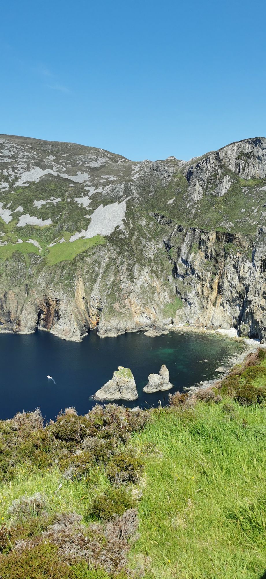
The turquoise sea below the cliff faces of Slieve League in County Donegal
Neus · Co. Donegal

Slieve League

Slieve League in southwest Donegal drops roughly 600 metres into the Atlantic, making it one of Europe's highest sea cliffs. The full scale is best experienced from the foot, reached via a two-hour walk from the Meenaleck car park.

Free to visit; a small parking charge may apply at the car park.· Reserveer 2–3 hours including the walk to the foot of the cliffs
Dorp · Co. Donegal

Buncrana

Buncrana is Donegal’s second-largest town, sitting on the Inishowen shore of Lough Swilly. It features the historic O’Doherty’s Keep and a rich textile heritage, serving as a practical base for exploring the peninsula.

The town, the esplanade and the keep are free to visit; there is no charge, as last known.
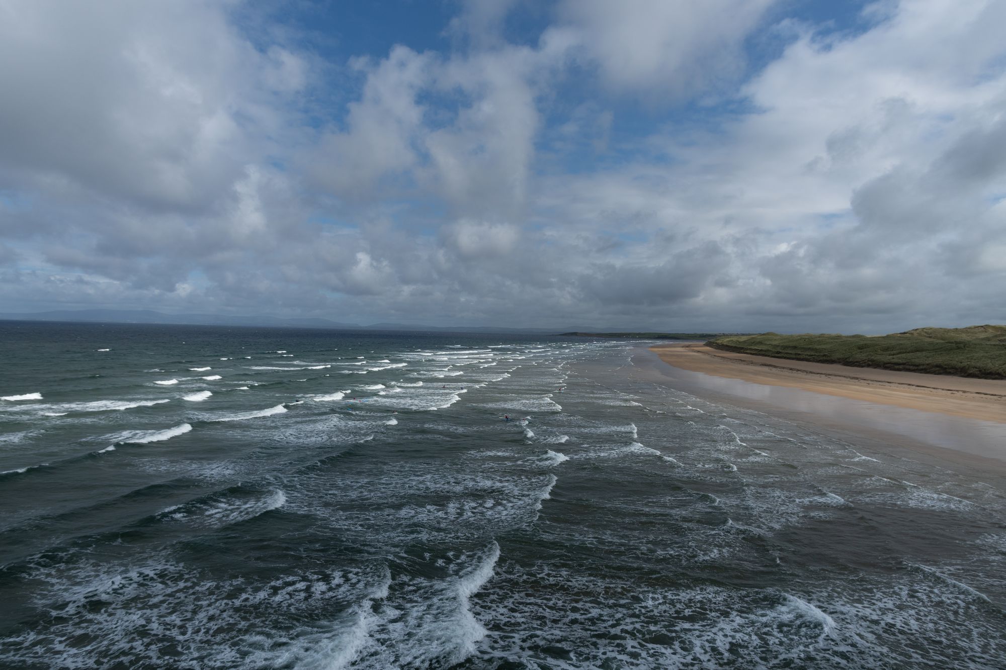
Tullan Strand beach at Bundoran, County Donegal
Dorp · Co. Donegal

Bundoran

Bundoran, County Donegal’s most southerly town, is a historic seaside resort named after the Doran River. It is a National Geographic top 20 surf town and the site where Mícheál Ó Cléirigh helped compile the Annals of the Four Masters.

The town and the beach are free; the surf schools and the boat trips are paid — check current operators and prices before travelling.
Dorp · Co. Donegal

Carndonagh

Carndonagh is the central hub for Inishowen's north coast, combining a 2,768-person village with easy access to Trawbreaga Bay, Atlantic beaches, and inland glens.

The village, the bay and the coast road are free; the glen walks are open country with no charge, as last known.