Ausflugsziel · Co. Galway
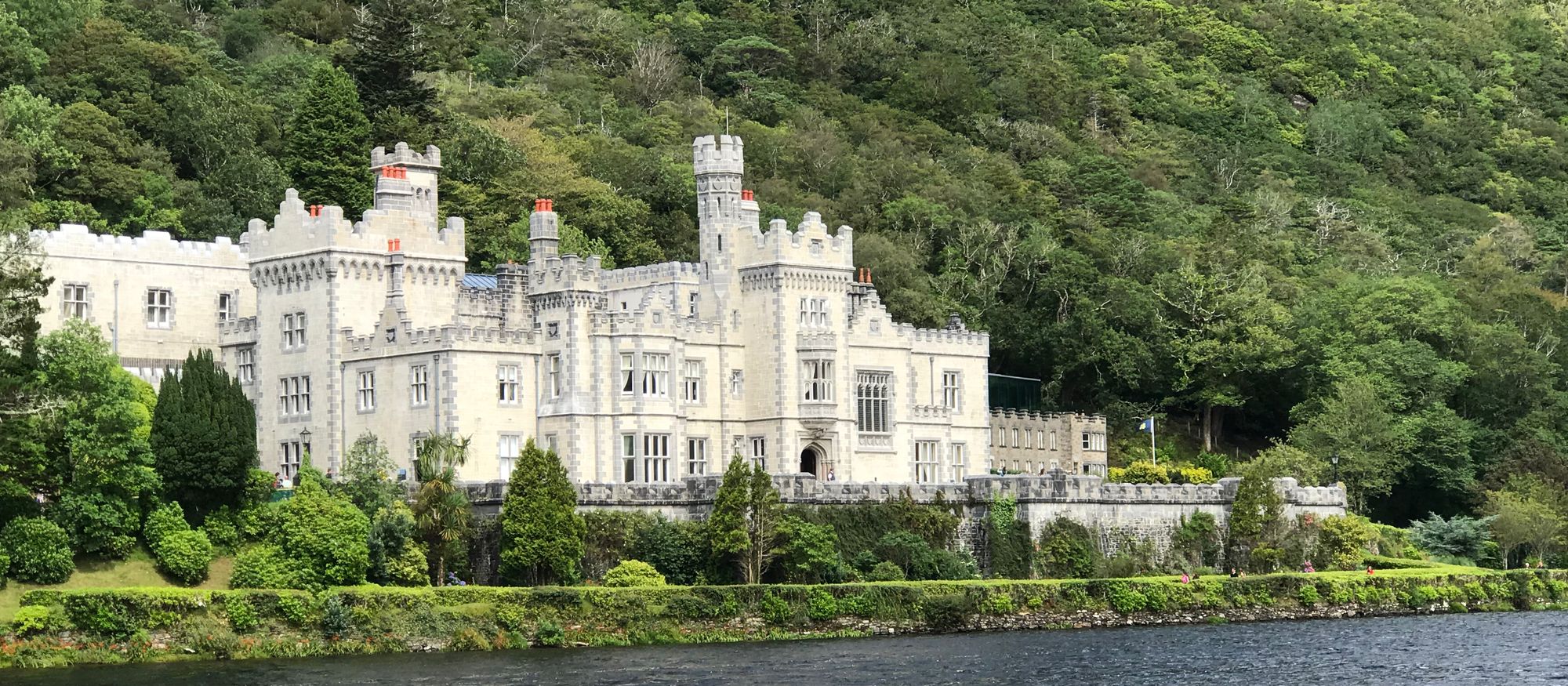
Kylemore Abbey
Kylemore Abbey in Connemara is a working Benedictine monastery and former castle on the N59. It offers ticketed gardens and castle tours, free shore views, and quiet church access near Letterfrack.
Grafenschaft · West Atlantic
Kylemore Abbey in Connemara is a working Benedictine monastery and former castle on the N59. It offers ticketed gardens and castle tours, free shore views, and quiet church access near Letterfrack.
Athenry, 25 km east of Galway, preserves its 13th-century layout, town wall, castle, and priory. The medieval town is also famous for the song "The Fields of Athenry."
Built in 1754 on Ballynahinch Lake, this former country house sits beneath Benlettery (557 metres) in County Galway. Once home to "Humanity Dick" and the Maharaja Jam Sahib, it operates today as a hotel within a private estate.
Carna is a Gaeltacht focal point in west Connemara, 74 km from Galway. It holds a Garda station, health centre, lifeboat, and university research facilities.
Cleggan is a fishing village 10 km from Clifden, centered on a pier built by Alexander Nimmo in 1822. Daily ferries depart for Inishbofin and Inishturk, while local legend links the name to St. Ceannanach and a nearby holy well.
Clifden, known as the Capital of Connemara, sits where the Owenglin River meets Clifden Bay. Founded in the 1820s by John D'Arcy and Alexander Nimmo, it features a ruined castle on the hill and serves as the main base for the region.
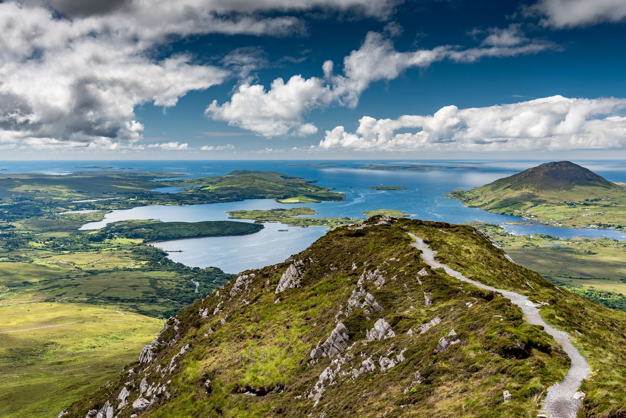
Connemara is the largest Gaeltacht in Ireland, a rural region of quartzite mountains and coves on the Atlantic coast of west Galway. Clifden serves as the main base, with Connemara National Park dominating the northwest landscape.
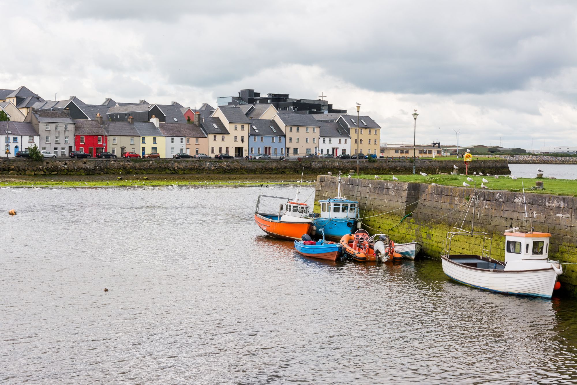
Galway is Connacht's largest city, defined by the Corrib River, the historic Claddagh, and its role as the 2020 European Capital of Culture.
Gort sits in County Galway between the Burren and Slieve Aughty, named after the "field of Guaire's island." The town features Bronze Age fort remains in Coole Park, along with local ringforts and holy wells.
Lough Corrib is the Republic's largest lake, covering 176 square kilometres between Galway and Connemara. It links to the sea via the River Corrib, features the Friar's Cut, and holds Ramsar status for its birdlife.
Oranmore sits 9 km east of Galway city, with a 2022 population of 5,819. The town features the estuary, a fulacht fiadh, ringforts, and a megalith on its prehistoric parish ground.
Oughterard is a small, rapidly growing angling town on the western shore of Lough Corrib, 26 km northwest of Galway. It features the Owenriff River, historic ringforts, and serves as a base for local fishing.
Roundstone, known locally as "seal's rock," sits on Roundstone Bay opposite Inishnee. The village serves as a creative hub and hosts a July regatta, anchored by a distinctive round rock at the bay's entrance.
Spiddal is a Gaeltacht village 18 km west of Galway city, defined by its high Irish-speaking population, a beach on Galway Bay, and a name rooted in a medieval leper hospital.
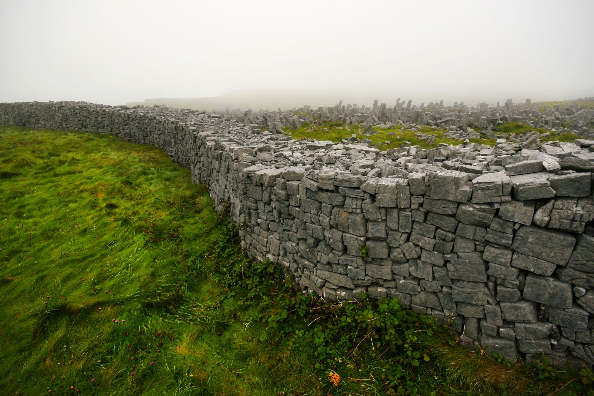
The three Aran Islands sit at the mouth of Galway Bay, defined by Carboniferous limestone and a Gaeltacht population. Dún Aonghasa, dating to 1100 BC, anchors the landscape, while year-round ferries leave from Rossaveal.
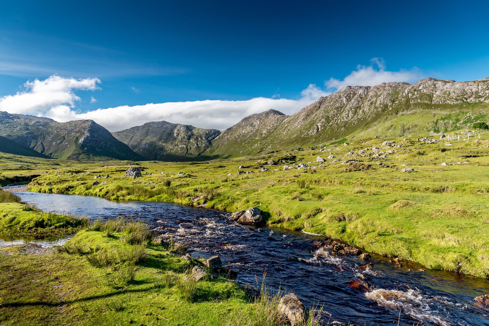
The Twelve Bens (Benna Beola) in Connemara National Park feature sharp quartzite peaks, with Benbaun at 729 m. The 16-km Glencoaghan Horseshoe is a 8–9 hour ridge-walk, and the range is a 16,163-hectare Special Area of Conservation.
Für diese Grafschaft sind noch keine kommenden Aktivitäten gelistet.