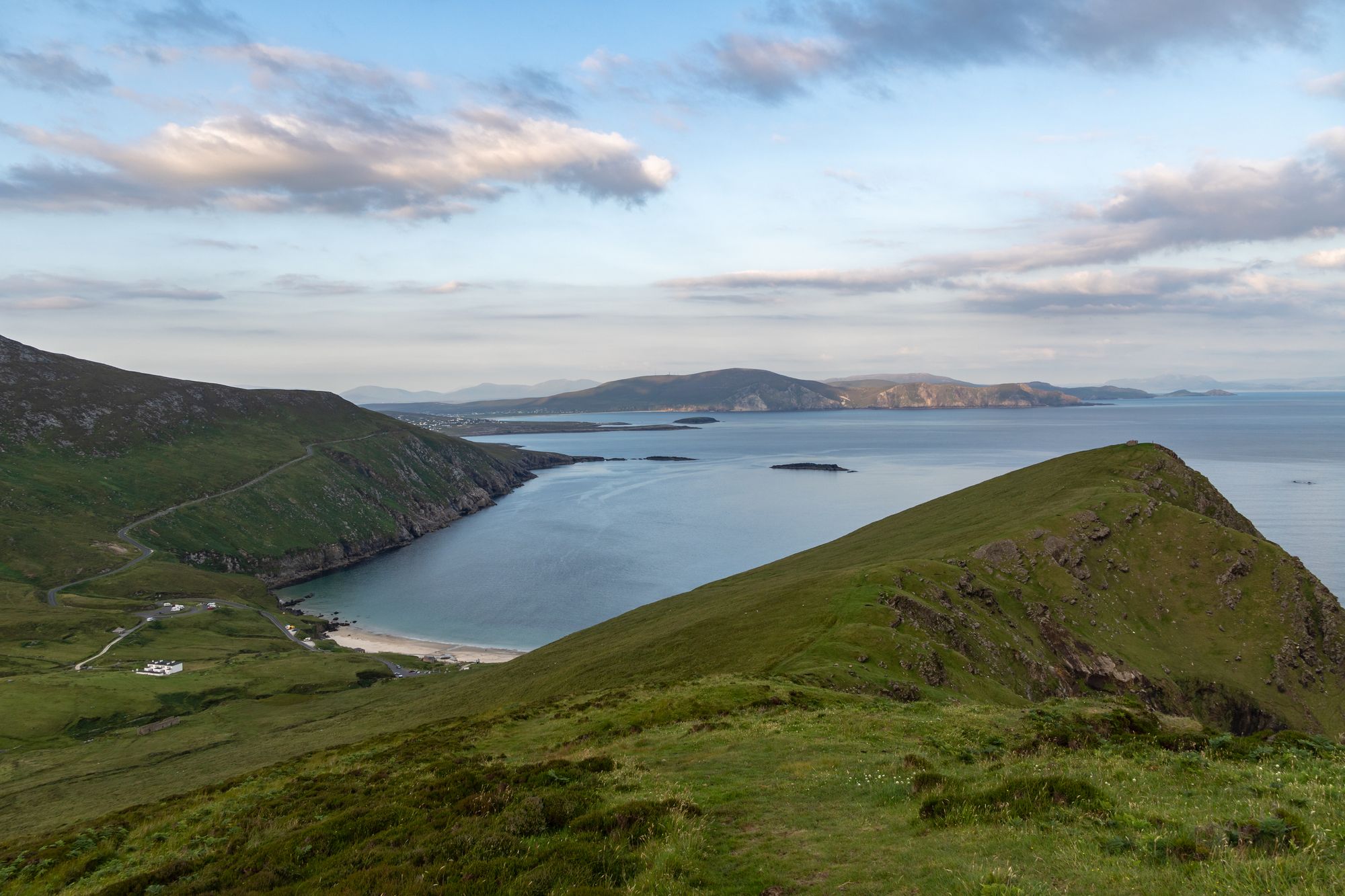
Eiland · Co. Mayo
Achill Island
Achill is Ireland's largest western island, connected to the mainland since 1887. It features dramatic headlands, historic lighthouses, and a community that blends farming with tourism.
Dorp · Co. Mayo
Cong sits on an island of streams between Lough Corrib and Lough Mask, linked by underground water. Its history includes the old episcopal see of Cunga Féichin and Anglo-Norman settlements.
Cong, known as Conga in Irish, takes its name from Cúnga Fheichín, which translates to “Saint Feichin’s narrows”. Located in County Mayo, the village straddles the border with County Galway. It forms part of a civil parish that bears the same name.
The geography is unusual. Cong sits on an island created by several streams that wrap around it completely. This island acts as an isthmus connecting Lough Corrib and Lough Mask. You’ll find it near the towns of Headford and Ballinrobe, as well as the villages of Clonbur, the Neale, and Cross.
Underground streams link Lough Corrib with Lough Mask to the north. Because the village rests on the isthmus between these two bodies of water, the flow moves through and beneath the streets. You have the surface streams forming the island, the hidden underground streams carrying water between the loughs, and the loughs themselves on either side.
Walking through Cong is effectively walking across the isthmus and following the streams. The light on the water tends to be best in the evening.
History here is tied to the land. The 1111 Synod of Ráth Breasail included Cong, listed as Cunga Féichin, among five dioceses approved for Connacht. However, the 1152 Synod of Kells excluded it from its list. That later synod assigned the territory to the archdiocese of Tuam.
Cunga Féichin is no longer a residential bishopric. The Catholic Church now lists it as a titular see. Anglo-Norman settlements were also established here. The town’s story is the story of the isthmus, and the church in the village remains the older building of the place.
Cong is positioned on the isthmus between Lough Corrib and Lough Mask. It is a short drive from Ballinrobe and Headford. The streams and loughs are directly in and around the village.
Many visitors use the village as a base for the two loughs and the Connemara country beyond. A common plan involves the walk in the morning and time on the lough in the afternoon.
Waar logeren
Cong puts the streams, the loughs and the Connemara country all within a short drive — the isthmus is the point.
Bekijk de actuele beschikbaarheid voor je data. Beschikbaarheid en prijzen komen van de aanbieder, niet van ons.
Achill is Ireland's largest western island, connected to the mainland since 1887. It features dramatic headlands, historic lighthouses, and a community that blends farming with tourism.
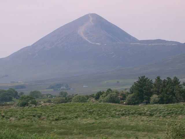
Croagh Patrick, a 764-metre peak near Murrisk, is a historic site where St Patrick fasted. It offers a steep summit path and a gentler circular walk, drawing thousands annually for the July pilgrimage.
Ballina sits at the mouth of the River Moy near Killala Bay, flanked by the Ox and Nephin Mountains. The Bronze Age Dolmen of the Four Maols rests on Primrose Hill behind the station, making it a solid base for exploring north Mayo.
Belmullet sits at the Mullet isthmus, a Gaeltacht town split by Carter’s Canal between Blacksod and Broadhaven bays. Half the residents can speak Irish, and the town acts as the main access point for the wider peninsula.