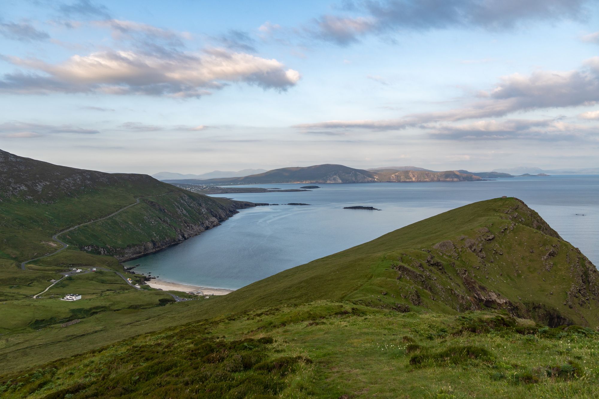
Insel · Co. Mayo
Achill Island
Achill is Ireland's largest western island, connected to the mainland since 1887. It features dramatic headlands, historic lighthouses, and a community that blends farming with tourism.
Dorf · Co. Mayo
Newport, known locally as Ballyveaghan, is a small town on the Clew Bay shore north of Westport. The Black Oak River runs through the centre, and the old 1937-closed station now sits on the Great Western Greenway.
Locals call it Ballyveaghan. The official name is Newport, or Baile Uí Fhiacháin in Irish. Some maps still show Newport-Pratt. It sits in the barony of Burrishoole, County Mayo. In 2022, the population hit 815.
The N59 road cuts through the town. It’s on the west coast, right along the shore of Clew Bay, north of Westport. Castlebar, the county town, lies roughly 18 km to the east.
The Black Oak River flows through the middle of Newport. Walking paths line its banks. Think of the river as the town’s front garden. The water, the paths, and the banks make up the daily walk.
You stroll along the river and up to the bay. Clew Bay sits on the town’s front door. Evening light on the water is usually best. Newport is the quiet spot on the bay shore, positioned between Westport to the south and the Achill country to the north.
A Newport railway station once existed on the Westport to Achill line. It shut down in 1937. Now, the site forms part of the Great Western Greenway. The station building still stands on the route.
Walking the old line takes you past the building toward the coast. The Greenway acts as the town’s main connection. It links the old line, the path, and the coast. Newport is where the Greenway meets the bay.
Find Newport on the N59, on the Clew Bay shore. It’s north of Westport and about 18 km west of Castlebar. The Black Oak River runs through the town centre.
Many use it as a base for the bay shore and the Greenway. Morning river walks are common. Afternoons are often spent on the bay.
Übernachten
Newport puts the Black Oak, the bay and the Greenway all within a walk — the river is the point.
Aktuelle Verfügbarkeit für Ihre Reisedaten. Verfügbarkeit und Preise stammen vom Anbieter, nicht von uns.
Achill is Ireland's largest western island, connected to the mainland since 1887. It features dramatic headlands, historic lighthouses, and a community that blends farming with tourism.
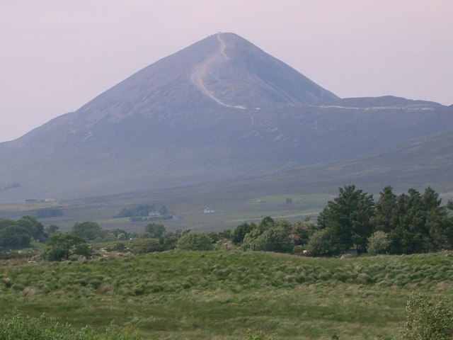
Croagh Patrick, a 764-metre peak near Murrisk, is a historic site where St Patrick fasted. It offers a steep summit path and a gentler circular walk, drawing thousands annually for the July pilgrimage.
Ballina sits at the mouth of the River Moy near Killala Bay, flanked by the Ox and Nephin Mountains. The Bronze Age Dolmen of the Four Maols rests on Primrose Hill behind the station, making it a solid base for exploring north Mayo.
Belmullet sits at the Mullet isthmus, a Gaeltacht town split by Carter’s Canal between Blacksod and Broadhaven bays. Half the residents can speak Irish, and the town acts as the main access point for the wider peninsula.