Wanderung · Co. Mayo
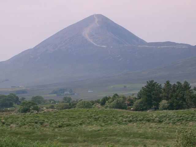
Croagh Patrick
Croagh Patrick, a 764-metre peak near Murrisk, is a historic site where St Patrick fasted. It offers a steep summit path and a gentler circular walk, drawing thousands annually for the July pilgrimage.
Insel · Co. Mayo
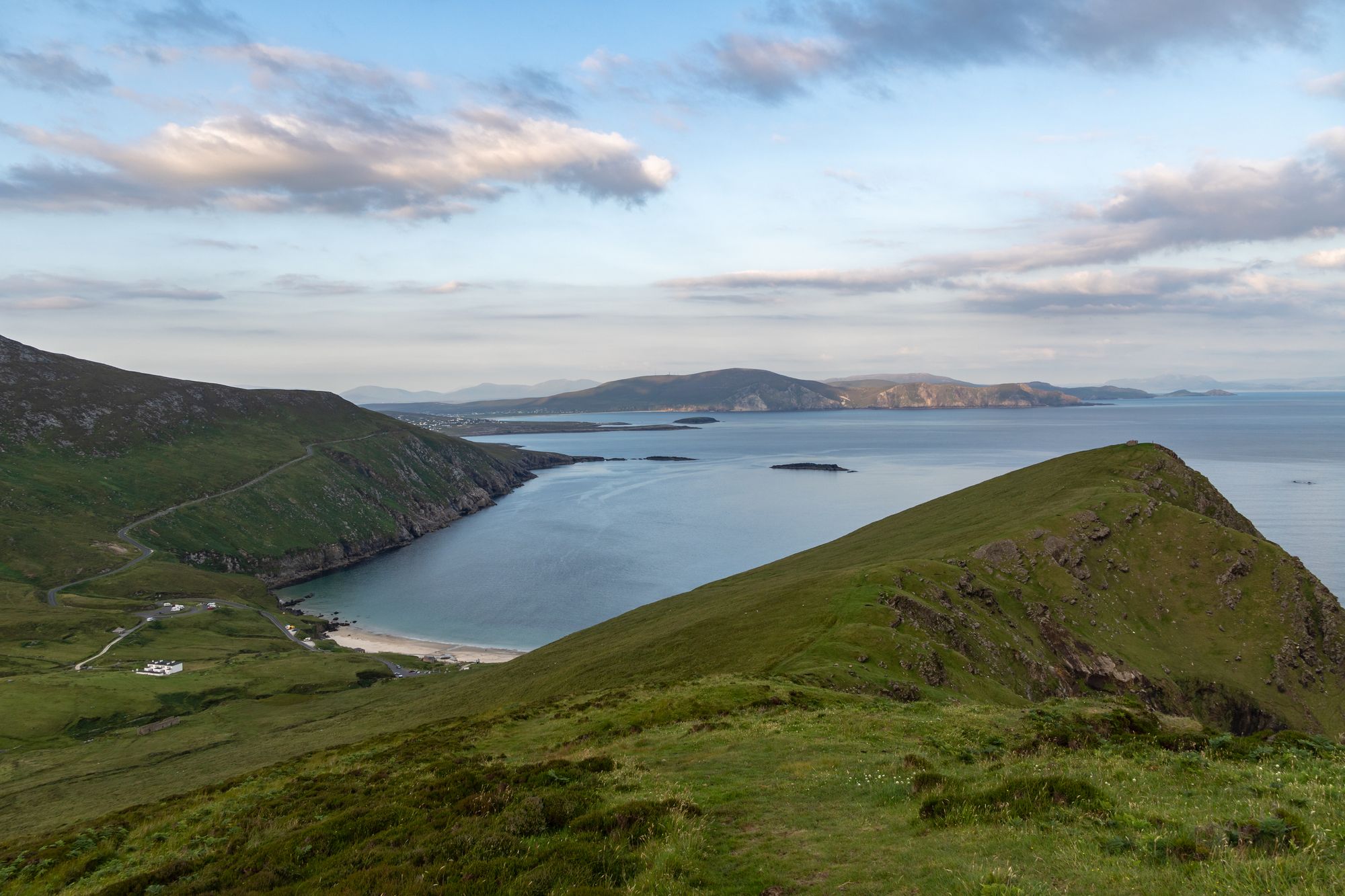
Achill is Ireland's largest western island, connected to the mainland since 1887. It features dramatic headlands, historic lighthouses, and a community that blends farming with tourism.
Achill Island, County Mayo — photo by simonizq8
Achill sits off the west coast of Ireland. It covers roughly 147 square kilometres. A bridge over Achill Sound has linked it to the mainland since 1887. The current span, the Michael Davitt Bridge, opened in 2008. Before that, boats were the only way in. That isolation still shapes the island's feel. A few thousand people live here. It is a working place, not just a tourist stop. Farms, small shops, and a tight-knit community define daily life.
The coastline draws most visitors. The Croaghaun headland on the northwest side forms a long cliff wall. From there, you can see the mainland and the Twelve Bens. Keem Bay, on the west side, has black pebbles. A sea stack known as "Finn's Boot" stands off its end. The Dugort peninsula to the south is quieter. It offers small coves and open headland. Dooagh Lagoon, on the south coast, is flat and sheltered. Islanders have farmed this land for generations.
The Duggan's Rocks lighthouse sits off the Dugort coast. It carries one of the island's most famous stories. Local tradition speaks of a keeper and his son. A storm in the 1930s took the young keeper. The full facts are unclear, but the story remains part of local memory. Standing there, the sea feels close. The place and the tale are tightly bound. Few spots on the island match that connection.
Late summer offers the best light. Heather turns colour, and days stay long. Winter gales make the coast look wild. Each season changes the island's character.
Exploring the island is free. Car parks dot the coast. Some charge a small fee. A car is the best way to see it. One full day isn't enough. Keel, where the bridge lands, and Islandbridge on the west side serve as main bases.
Übernachten
Stay around Keel for the beaches and western side of the island, or near Achill Sound for an easier arrival and departure.
Aktuelle Verfügbarkeit für Ihre Reisedaten. Verfügbarkeit und Preise stammen vom Anbieter, nicht von uns.
Croagh Patrick, a 764-metre peak near Murrisk, is a historic site where St Patrick fasted. It offers a steep summit path and a gentler circular walk, drawing thousands annually for the July pilgrimage.
Ballina sits at the mouth of the River Moy near Killala Bay, flanked by the Ox and Nephin Mountains. The Bronze Age Dolmen of the Four Maols rests on Primrose Hill behind the station, making it a solid base for exploring north Mayo.
Belmullet sits at the Mullet isthmus, a Gaeltacht town split by Carter’s Canal between Blacksod and Broadhaven bays. Half the residents can speak Irish, and the town acts as the main access point for the wider peninsula.
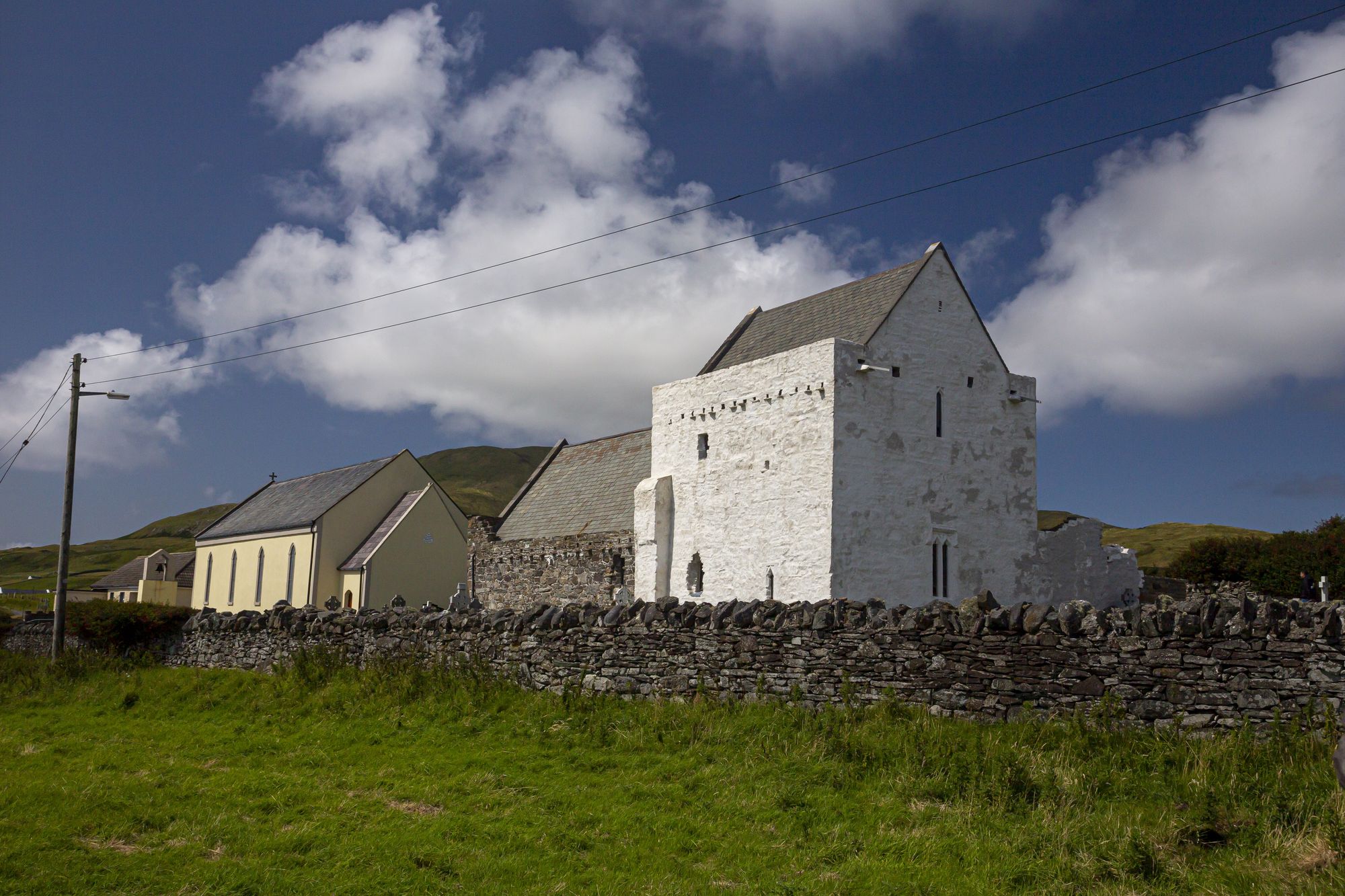
Clare Island sits at the mouth of Clew Bay in County Mayo. It is home to Gráinne O’Malley, with Granuaile’s Castle near the pier and rare medieval roof paintings at the Abbey.