Dorf · Co. Donegal

Inver

Inver sits on the N56 between Donegal and Killybegs, a civil parish in the Banagh barony. It offers a base for the south-west coast road and Bluestack walks, with shops and a pub within a short walk.

The village

Inver is a small village in County Donegal. It sits on the N56 national secondary road, halfway between Donegal town to the east and Killybegs to the west. As a civil parish in the barony of Banagh, it occupies the spot where the coast road shifts from the bay to the open Atlantic. It is a place built for passing through and stopping. The shops, the fuel, the pub, and the coast are all within the same short walk.

The coast road

The N56 through Inver is the south-west coast road at its best. The bay lies on one side. The Bluestack country is on the other. Between them are the villages and the headlands. The drive from Inver to Killybegs is the best stretch of the road. The water, the headlands, the small settlements, and the light on the coast in the late afternoon make it so. The village is the base that makes the drive easy. It is the stop that does not need a reason.

The country behind it

Behind the village, the country rises into the Bluestack Mountains. The walks from the village into that country form the other half of the day. They are short enough for a morning but long enough to be worth the drive. They are better before the wind builds. The village is the natural start for anyone who wants the coast and the mountain in the same day.

Practical

Allow a day. Take the coast road in the morning. Do a Bluestack walk in the afternoon. Pair it with Ardara to the south-east for a full touring day.

Quellen & Überprüfung

🧭 Route anzeigen

Übernachten

The crossroads of the coast road

Stay in the village and the coast, the Bluestacks and Killybegs are all inside the day.

  • InverThe village itself — B&Bs and self-catering, on the N56 at the foot of the Bluestacks. · in the village
  • ArdaraThe town to the south-east, twenty minutes away, for a larger base. · 20 min by car
See stays in Inver ↗

Aktuelle Verfügbarkeit für Ihre Reisedaten. Verfügbarkeit und Preise stammen vom Anbieter, nicht von uns.

Mehr in Donegal

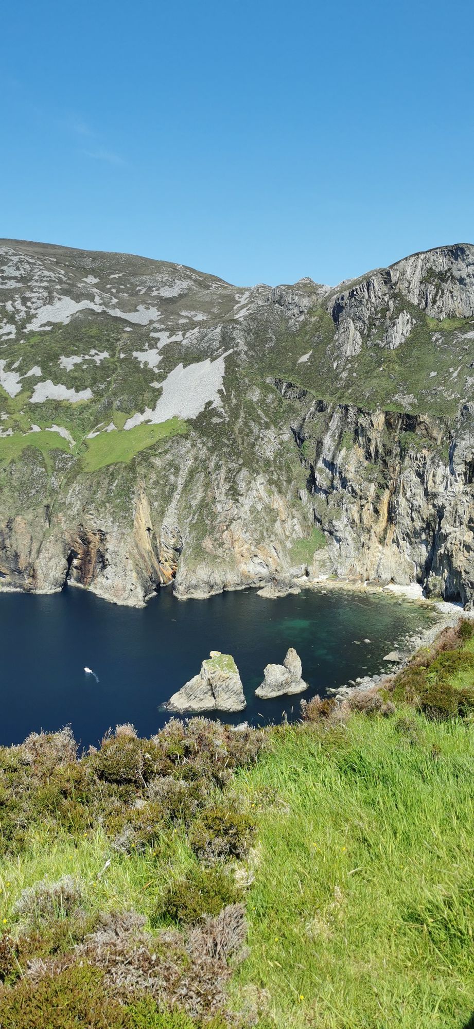
The turquoise sea below the cliff faces of Slieve League in County Donegal
Landzunge · Co. Donegal

Slieve League

Slieve League in southwest Donegal drops roughly 600 metres into the Atlantic, making it one of Europe's highest sea cliffs. The full scale is best experienced from the foot, reached via a two-hour walk from the Meenaleck car park.

Free to visit; a small parking charge may apply at the car park.· Einplanen 2–3 hours including the walk to the foot of the cliffs
The village road at Ardara, County Donegal
Dorf · Co. Donegal

Ardara

Ardara is a small south-west Donegal town on the N56, named by The Irish Times in 2012 as the best village in which to live in Ireland. It serves as a practical base for the Bluestack Mountains and the west coast.

The town and the walks are free; there are no ticketed sites, as last known.
Dorf · Co. Donegal

Buncrana

Buncrana is Donegal’s second-largest town, sitting on the Inishowen shore of Lough Swilly. It features the historic O’Doherty’s Keep and a rich textile heritage, serving as a practical base for exploring the peninsula.

The town, the esplanade and the keep are free to visit; there is no charge, as last known.
Tullan Strand beach at Bundoran, County Donegal
Dorf · Co. Donegal

Bundoran

Bundoran, County Donegal’s most southerly town, is a historic seaside resort named after the Doran River. It is a National Geographic top 20 surf town and the site where Mícheál Ó Cléirigh helped compile the Annals of the Four Masters.

The town and the beach are free; the surf schools and the boat trips are paid — check current operators and prices before travelling.