Insel · Co. Mayo
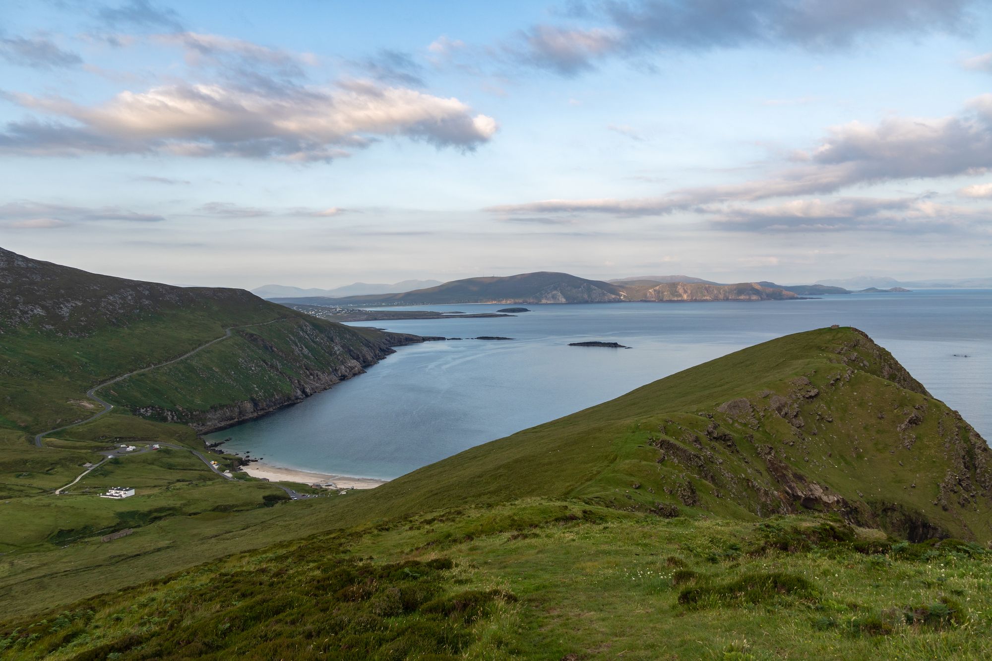
Achill Island
Achill is Ireland's largest western island, connected to the mainland since 1887. It features dramatic headlands, historic lighthouses, and a community that blends farming with tourism.
Region · Co. Mayo
Erris covers 932.61 km² of mountainous blanket bog on Mayo’s wild Atlantic coast. Belmullet and Bangor Erris serve as main towns, while the Mullet forms the barony’s largest peninsula.
Erris sits in northwestern County Mayo. It spans over 230,452 acres (932.61 km²), mostly mountainous blanket bog. The west and north borders meet the sea. Belmullet and Bangor Erris are the main towns. The name comes from Irish: “Iar Ros,” which means “western promontory.” The full name is Iorrais Domnann, named after the Fir Bolg tribe, the Fir Domnann. This is the western edge of Mayo. You have the wild Atlantic to the north, the bays of Broadhaven and Sruth Fada Conn, and Blacksod Bay to the west.
The coast breaks into several headlands. The Doohoma Peninsula, the Mullet Peninsula, Erris Head, the Dún Chiortáin and Dún Chaocháin peninsulas, and Benwee Head define the shape. The Mullet is the largest. The Wild Atlantic Way runs through this country at its wildest. Blanket bog, headlands, and bays dominate the view. Villages tuck into the shelter of the water. Five Catholic parishes cover the area: Kilcommon, Kilmore, Kiltane, Belmullet, and Ballycroy. These parish areas represent the older history of the barony.
Parts of Erris fall within a Gaeltacht area. First-language Irish speakers live in An Fál Mór, Tamhain na hUltaí, Glais, and surrounding townlands. This is the Irish-speaking heart of the barony. It is where the Mayo Gaeltacht meets the Atlantic. Walking through these villages usually happens before tackling the headlands. The sign on the gate marks the boundary clearly.
You can drive to Erris from Westport and Castlebar. The barony is big. One day isn’t enough. Spend a day on the Mullet. Use another for the bays. Visit the villages in between. Belmullet and Bangor Erris work as bases. Weather on the headlands dictates the pace.
Übernachten
Belmullet and Bangor Erris put the Mullet, the bays and the blanket bog all within a short drive.
Aktuelle Verfügbarkeit für Ihre Reisedaten. Verfügbarkeit und Preise stammen vom Anbieter, nicht von uns.
Achill is Ireland's largest western island, connected to the mainland since 1887. It features dramatic headlands, historic lighthouses, and a community that blends farming with tourism.
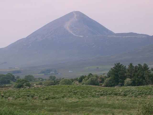
Croagh Patrick, a 764-metre peak near Murrisk, is a historic site where St Patrick fasted. It offers a steep summit path and a gentler circular walk, drawing thousands annually for the July pilgrimage.
Ballina sits at the mouth of the River Moy near Killala Bay, flanked by the Ox and Nephin Mountains. The Bronze Age Dolmen of the Four Maols rests on Primrose Hill behind the station, making it a solid base for exploring north Mayo.
Belmullet sits at the Mullet isthmus, a Gaeltacht town split by Carter’s Canal between Blacksod and Broadhaven bays. Half the residents can speak Irish, and the town acts as the main access point for the wider peninsula.