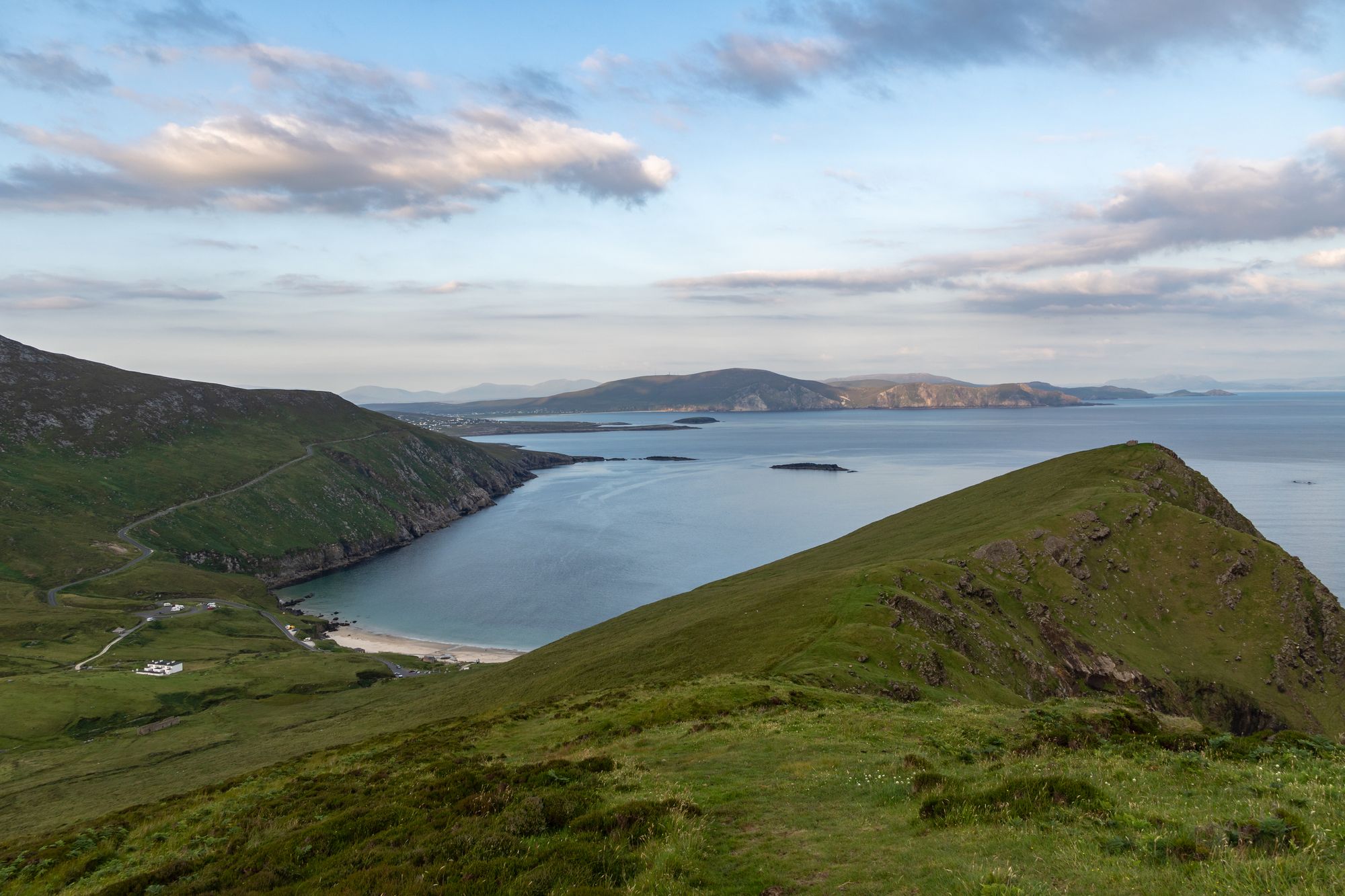
Island · Co. Mayo
Achill Island
Achill is Ireland's largest western island, connected to the mainland since 1887. It features dramatic headlands, historic lighthouses, and a community that blends farming with tourism.
Area · Co. Mayo
Wild Nephin National Park covers 150 square kilometres of Atlantic blanket bog in the Nephin Beg Mountains. It protects the Irish mainland's most remote point and features extensive peatland habitats.
Wild Nephin sits in northwest County Mayo. The Irish name is Néifinn Fhiáin. It wraps around much of the Nephin Beg Mountains. The core landscape is 150 square kilometres of Atlantic blanket bog. That is one of the largest expanses of peatland in Europe. The habitat is unique. Bog, peaks, and coast meet here. The park protects this wild country exactly as it is.
The park started as Ballycroy National Park in 1998. It expanded and changed its name in 2018. New lands joined at Nephin Forest, east of the Nephin Beg Mountains. The plan is to re-wild those specific areas. Wild Nephin holds the most remote point of land on the Irish mainland. It is the wildest place on the mainland. The re-wilding project aims to make it wilder still. The site is a candidate Special Area of Conservation (cSAC). It forms part of the Owenduff/Nephin Complex. That conservation status defines the character of the country.
The Nephin Beg Mountains define the terrain. Peaks, bog, and coast form the main features. The Atlantic Ocean lies to the west. The bog runs straight up to the peaks. The blanket bog is the defining feature. It supports the specific flora and fauna the park protects. Walks here cross the bog and climb to the summits. Weather on the bog dictates the experience.
Wild Nephin is in northwest County Mayo. It is a drive from Ballina and the Nephin country. The size allows for a day or two. Start with the bog walks. The park is open ground with no cover. Check the forecast before setting out. The bog is rough underfoot in wet weather.
Where to stay
Ballina or the Glen Nephin villages put the bog, the peaks and the coast all within a drive — the walk is the point.
See current availability for your dates. Availability and prices come from the accommodation provider, not from us.
Achill is Ireland's largest western island, connected to the mainland since 1887. It features dramatic headlands, historic lighthouses, and a community that blends farming with tourism.
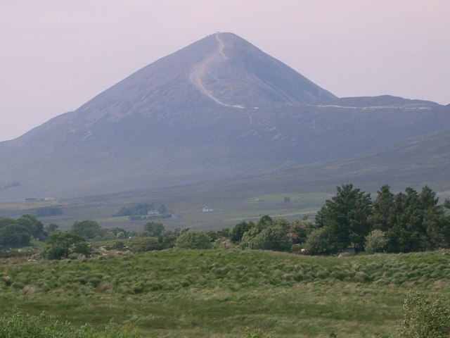
Croagh Patrick, a 764-metre peak near Murrisk, is a historic site where St Patrick fasted. It offers a steep summit path and a gentler circular walk, drawing thousands annually for the July pilgrimage.
Ballina sits at the mouth of the River Moy near Killala Bay, flanked by the Ox and Nephin Mountains. The Bronze Age Dolmen of the Four Maols rests on Primrose Hill behind the station, making it a solid base for exploring north Mayo.
Belmullet sits at the Mullet isthmus, a Gaeltacht town split by Carter’s Canal between Blacksod and Broadhaven bays. Half the residents can speak Irish, and the town acts as the main access point for the wider peninsula.