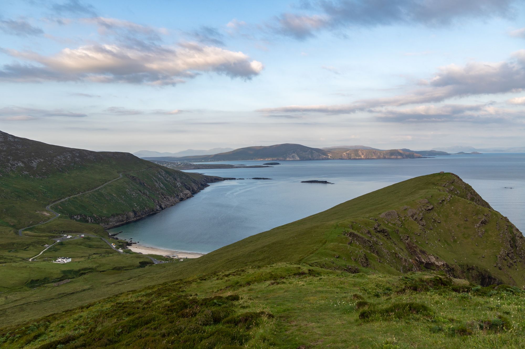
Island · Co. Mayo
Achill Island
Achill is Ireland's largest western island, connected to the mainland since 1887. It features dramatic headlands, historic lighthouses, and a community that blends farming with tourism.
Landmark · Co. Mayo
Nephin, at 806 metres, is Ireland's highest standalone mountain and the second-highest in Connacht. Located in Glen Nephin, it is a full-day walk across open ground, historically noted as one of the twelve chief mountains.
Nephin (pronounced NAY-FINN, or Néifinn in Irish) rises to 806 metres (2,644 ft). It is the highest standalone mountain in Ireland. In Connacht, it ranks second, behind Mweelrea.
The peak sits to the west of Lough Conn in County Mayo. It anchors the centre of Glen Nephin (Gleann Néifinne). This district is bounded by Lough Conn to the east, the Windy Gap/Barnageehy to the south, and Birreencorragh mountain to the west.
The old stories remember this place. Cath Maige Tuired (“The Battle of Moytura”) lists Nephin among the “twelve chief mountains” of Ireland. The text calls it Nemthenn. That name may link to nemeton, a term for a sacred space in Celtic polytheism.
Its weight in the region is clear from 1111. At the Synod of Ráth Breasail, the mountain was made the northern boundary of the diocese of Cong. Nephin marked the edge of the old country. Walking to it means crossing that boundary.
Glen Nephin is the district the mountain stands in. You have the lough to the east, the gap to the south, and the mountain to the west. The Nephin range’s blanket bog country surrounds it all.
Nephin is the high point of the range. The walk up is the big day out of the Glen Nephin country. The lough sits at the foot. The peak is at the top. Between them lie the bog and the other peaks of the range.
Weather on the peak tells the whole story. Check the forecast before setting out.
Nephin is to the west of Lough Conn, in the centre of Glen Nephin. The walk up takes a full day out, with time on the peak. It is open ground with no cover. Check the forecast before setting out. The bog country is rough underfoot in wet weather.
Where to stay
Ballina or Foxford put the lough, the bog and the peak all within a drive — the full day is the point.
See current availability for your dates. Availability and prices come from the accommodation provider, not from us.
Achill is Ireland's largest western island, connected to the mainland since 1887. It features dramatic headlands, historic lighthouses, and a community that blends farming with tourism.
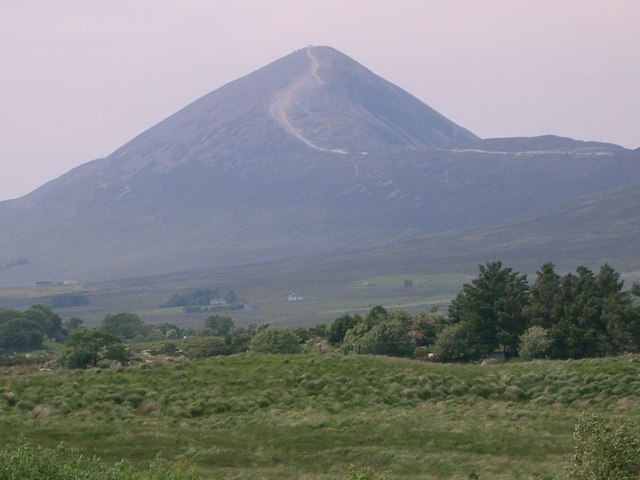
Croagh Patrick, a 764-metre peak near Murrisk, is a historic site where St Patrick fasted. It offers a steep summit path and a gentler circular walk, drawing thousands annually for the July pilgrimage.
Ballina sits at the mouth of the River Moy near Killala Bay, flanked by the Ox and Nephin Mountains. The Bronze Age Dolmen of the Four Maols rests on Primrose Hill behind the station, making it a solid base for exploring north Mayo.
Belmullet sits at the Mullet isthmus, a Gaeltacht town split by Carter’s Canal between Blacksod and Broadhaven bays. Half the residents can speak Irish, and the town acts as the main access point for the wider peninsula.