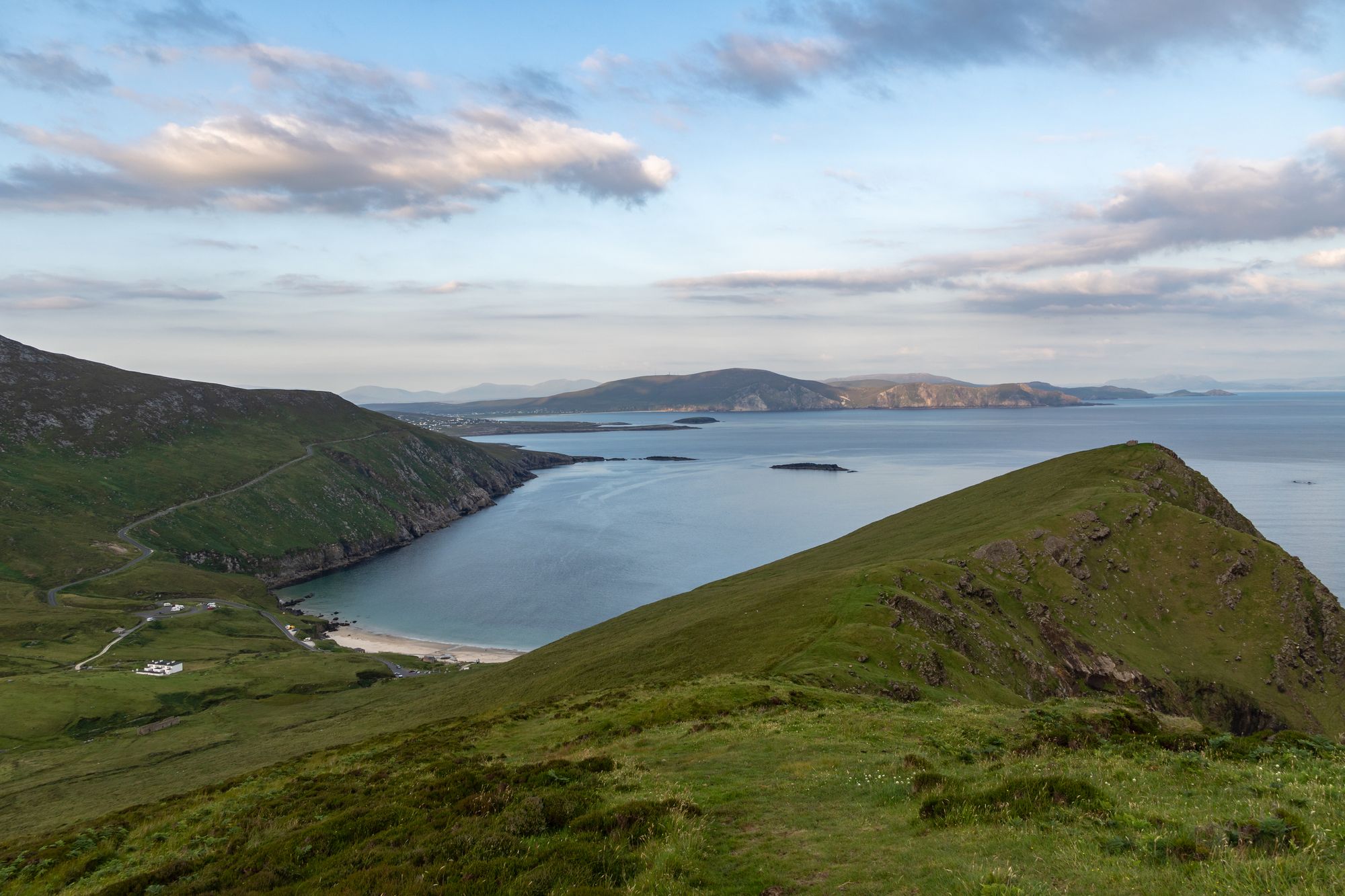
Island · Co. Mayo
Achill Island
Achill is Ireland's largest western island, connected to the mainland since 1887. It features dramatic headlands, historic lighthouses, and a community that blends farming with tourism.
Walk · Co. Mayo
Mweelrea is the highest mountain in Connacht at 814 m, located in County Mayo above Killary Harbour. The full-day walk over a horseshoe of peaks offers a commanding view of the Atlantic coast and the province’s summit.
Mweelrea rises on the Atlantic coast of County Mayo. It reaches 814 metres, which makes it the highest mountain in the province of Connacht. The peak overlooks Killary Harbour. It sits within a horseshoe-shaped massif that includes the peaks of Ben Lugmore and Ben Bury. Locals call the whole group the Mweelrea Mountains. The south-east face is a series of cliffed corries. The climb is worth it for the view. You see the harbour, the sea, and the long line of the Mayo coast from the top.
Most people approach from the Killorglin side. It’s a long climb out of the village. You head up over the open ground to the top. It takes a full day. The distance isn’t the only factor. The open ground and the weather matter just as much. The mountain is exposed. The weather on the top can be very different from the weather in the valley. In a storm, the corries and the ridge are closed country.
It is the highest point in the province. That sets it apart from the other western mountains. The view isn’t of the sea from a cliff. It’s of the whole coast from above it. You see the harbour below, the islands in it, and the line of the land to the north and south. It’s the kind of mountain you climb once and think about afterwards.
Where to stay
A base on the harbour puts the climb within a day, and the view within a reward.
See current availability for your dates. Availability and prices come from the accommodation provider, not from us.
Achill is Ireland's largest western island, connected to the mainland since 1887. It features dramatic headlands, historic lighthouses, and a community that blends farming with tourism.
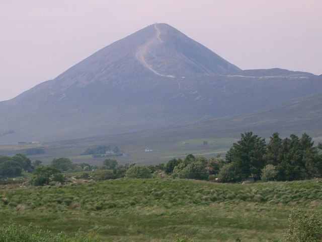
Croagh Patrick, a 764-metre peak near Murrisk, is a historic site where St Patrick fasted. It offers a steep summit path and a gentler circular walk, drawing thousands annually for the July pilgrimage.
Ballina sits at the mouth of the River Moy near Killala Bay, flanked by the Ox and Nephin Mountains. The Bronze Age Dolmen of the Four Maols rests on Primrose Hill behind the station, making it a solid base for exploring north Mayo.
Belmullet sits at the Mullet isthmus, a Gaeltacht town split by Carter’s Canal between Blacksod and Broadhaven bays. Half the residents can speak Irish, and the town acts as the main access point for the wider peninsula.