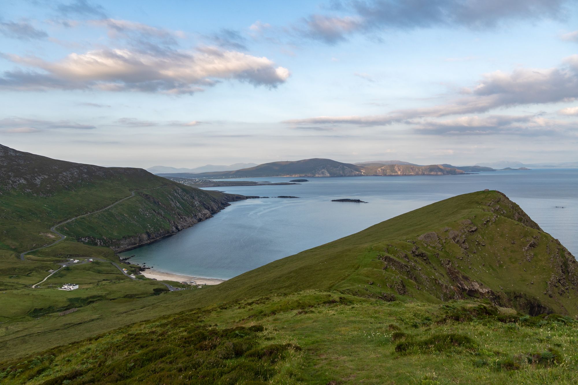
Island · Co. Mayo
Achill Island
Achill is Ireland's largest western island, connected to the mainland since 1887. It features dramatic headlands, historic lighthouses, and a community that blends farming with tourism.
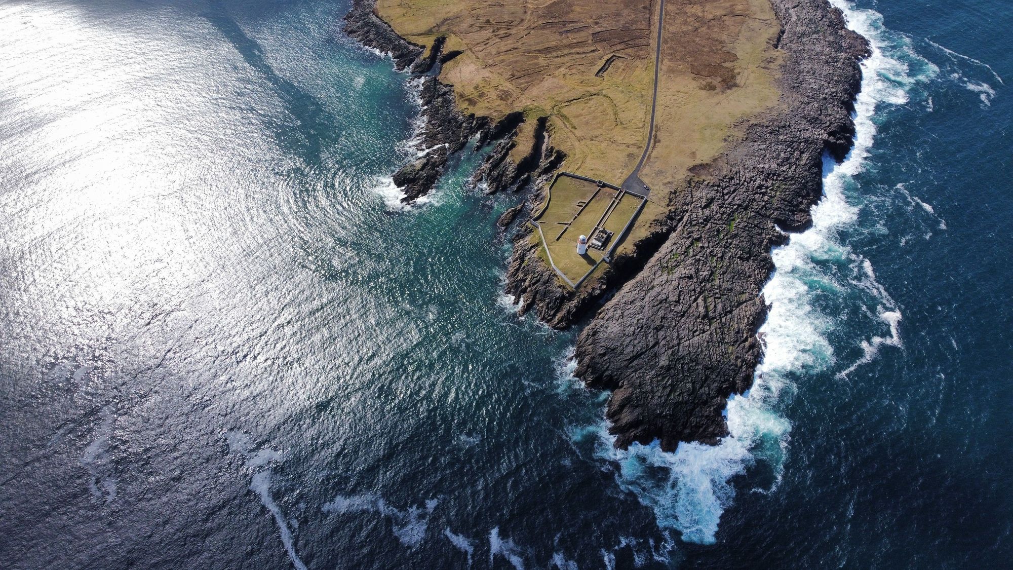
Area · Co. Mayo
The Mullet Peninsula in County Mayo is a 33 km landmass linked to the mainland at Belmullet. It features Blacksod and Broadhaven bays, a Gaeltacht community, and villages like Aughleam and Elly.
The Mullet Peninsula, County mayo — photo by wirestock_creators
Leithinis an Mhuirthead is the Irish name for this stretch of land. Locals often just call it the Mullet or an Mhuirthead. You might also hear Erris Peninsula, though that’s less common. It sits in the barony of Erris, County Mayo. The 2016 census counted 3,963 people living here. A narrow isthmus ties this large promontory to the mainland at Belmullet (Béal an Mhuirthead). That town holds about 1,000 inhabitants. Several villages dot the landscape: Aughleam, Elly, Corclough, and Binghamstown.
The land runs 33 km long. Width varies wildly, from 200 metres to 12 km. Erris Head marks the northern tip. The doglegged shape creates two distinct bays. Blacksod Bay sits on one side of the bend. Broadhaven Bay takes the other. The Atlantic opens up to the north. The villages tuck into the shelter of these bays. Belmullet marks the narrow point where the Mullet meets the mainland. Walking through the town means crossing that isthmus.
This area belongs to the Mayo Gaeltacht. Irish remains a relatively common language here. In 2016, about 8% of the population spoke Irish daily outside school. You’ll see it on the signs at the gate. The peninsula forms the western end of the barony of Erris. The bays, headlands, and villages define the local character.
Drive from Westport or Belmullet to reach the Mullet. The two bays offer the main days out. Blacksod lies to the north. Broadhaven is on the east. Use the villages as your bases. The light on the water is best before the weather moves in.
Where to stay
Belmullet is the gate; the villages put the two bays and the Atlantic all within a short drive.
See current availability for your dates. Availability and prices come from the accommodation provider, not from us.
Achill is Ireland's largest western island, connected to the mainland since 1887. It features dramatic headlands, historic lighthouses, and a community that blends farming with tourism.
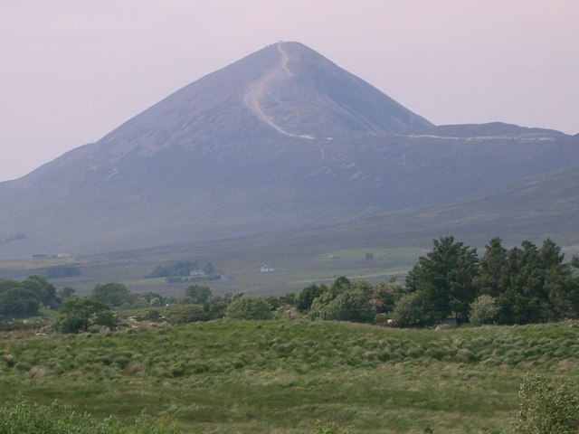
Croagh Patrick, a 764-metre peak near Murrisk, is a historic site where St Patrick fasted. It offers a steep summit path and a gentler circular walk, drawing thousands annually for the July pilgrimage.
Ballina sits at the mouth of the River Moy near Killala Bay, flanked by the Ox and Nephin Mountains. The Bronze Age Dolmen of the Four Maols rests on Primrose Hill behind the station, making it a solid base for exploring north Mayo.
Belmullet sits at the Mullet isthmus, a Gaeltacht town split by Carter’s Canal between Blacksod and Broadhaven bays. Half the residents can speak Irish, and the town acts as the main access point for the wider peninsula.