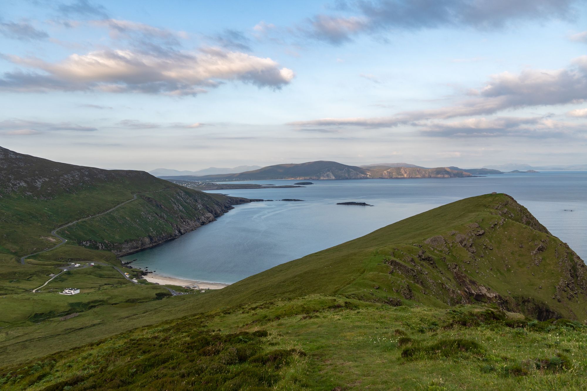
Island · Co. Mayo
Achill Island
Achill is Ireland's largest western island, connected to the mainland since 1887. It features dramatic headlands, historic lighthouses, and a community that blends farming with tourism.
Village · Co. Mayo
Foxford, known in Irish as Béal Easa, sits on the River Moy between the Nephin and Ox Mountains. The town features the 86-km Foxford Way and the woollen mills that have produced blankets since 1892.
Foxford is 16 km south of Ballina in County Mayo. The Irish name, Béal Easa, translates to “mouth of the waterfall.” This name originally referred to a large fox-shaped rock at a ford by the town. Some say it is the same rock known as “Cromwell’s Rock.”
The town sits on the N26 road between Swinford and Ballina. A railway station serves trains running between Manulla Junction and Ballina.
The River Moy runs right through Foxford. It is a salmon-fishing river, close to Lough Conn and Lough Cullin. The Nephin and Ox Mountains stand on either side of the town.
The Foxford Way is an 86-km waymarked tourist trail. It circles the town, taking in the Ox Mountains, bogland, archaeological sites, lakeshores and river banks. Many walkers use the town as a base for this route.
Agnes Morrogh Bernard founded a convent here in 1892. She also started a water-powered woollen mill. The Foxford Woollen Mills are known for their characteristic wool blankets.
The mills serve as the town’s main industry and landmark. Visitors often walk past the mill on their way to the river.
Foxford is 16 km south of Ballina on the N26. It sits on the River Moy between the Nephin and Ox Mountains. The Foxford Way starts in the town.
This makes it a good base for the Moy valley, the lakes and the two ranges. You can walk in the morning and visit the river in the afternoon.
Where to stay
Foxford puts the river, the lakes and the two mountain ranges all within a walk — the Foxford Way is the point.
See current availability for your dates. Availability and prices come from the accommodation provider, not from us.
Achill is Ireland's largest western island, connected to the mainland since 1887. It features dramatic headlands, historic lighthouses, and a community that blends farming with tourism.
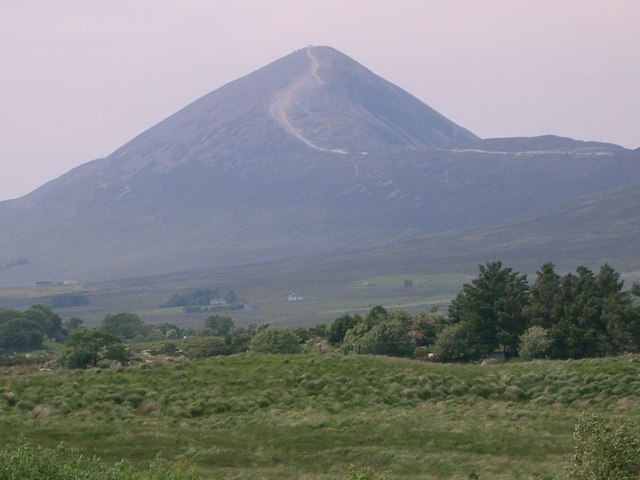
Croagh Patrick, a 764-metre peak near Murrisk, is a historic site where St Patrick fasted. It offers a steep summit path and a gentler circular walk, drawing thousands annually for the July pilgrimage.
Ballina sits at the mouth of the River Moy near Killala Bay, flanked by the Ox and Nephin Mountains. The Bronze Age Dolmen of the Four Maols rests on Primrose Hill behind the station, making it a solid base for exploring north Mayo.
Belmullet sits at the Mullet isthmus, a Gaeltacht town split by Carter’s Canal between Blacksod and Broadhaven bays. Half the residents can speak Irish, and the town acts as the main access point for the wider peninsula.