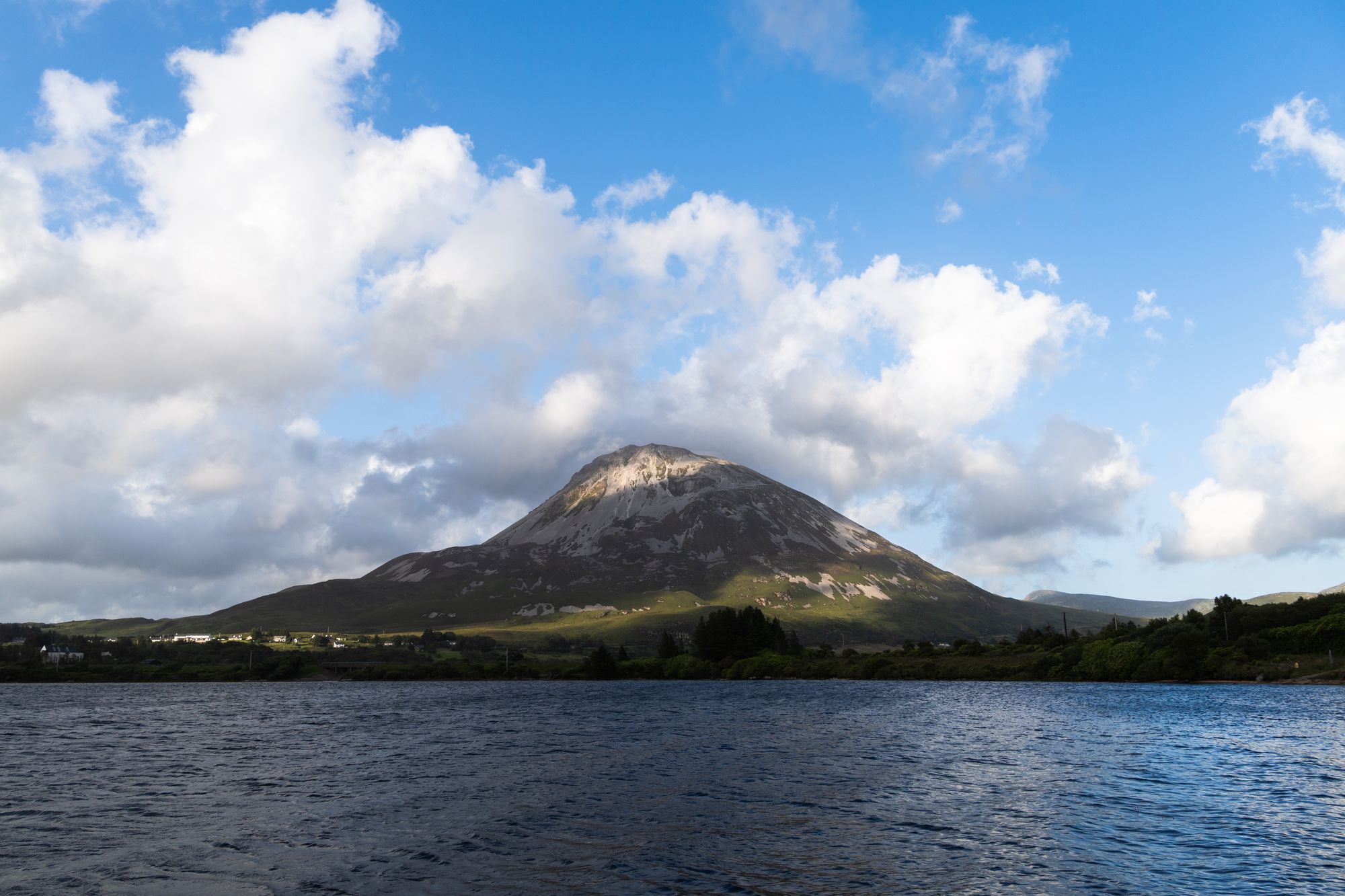
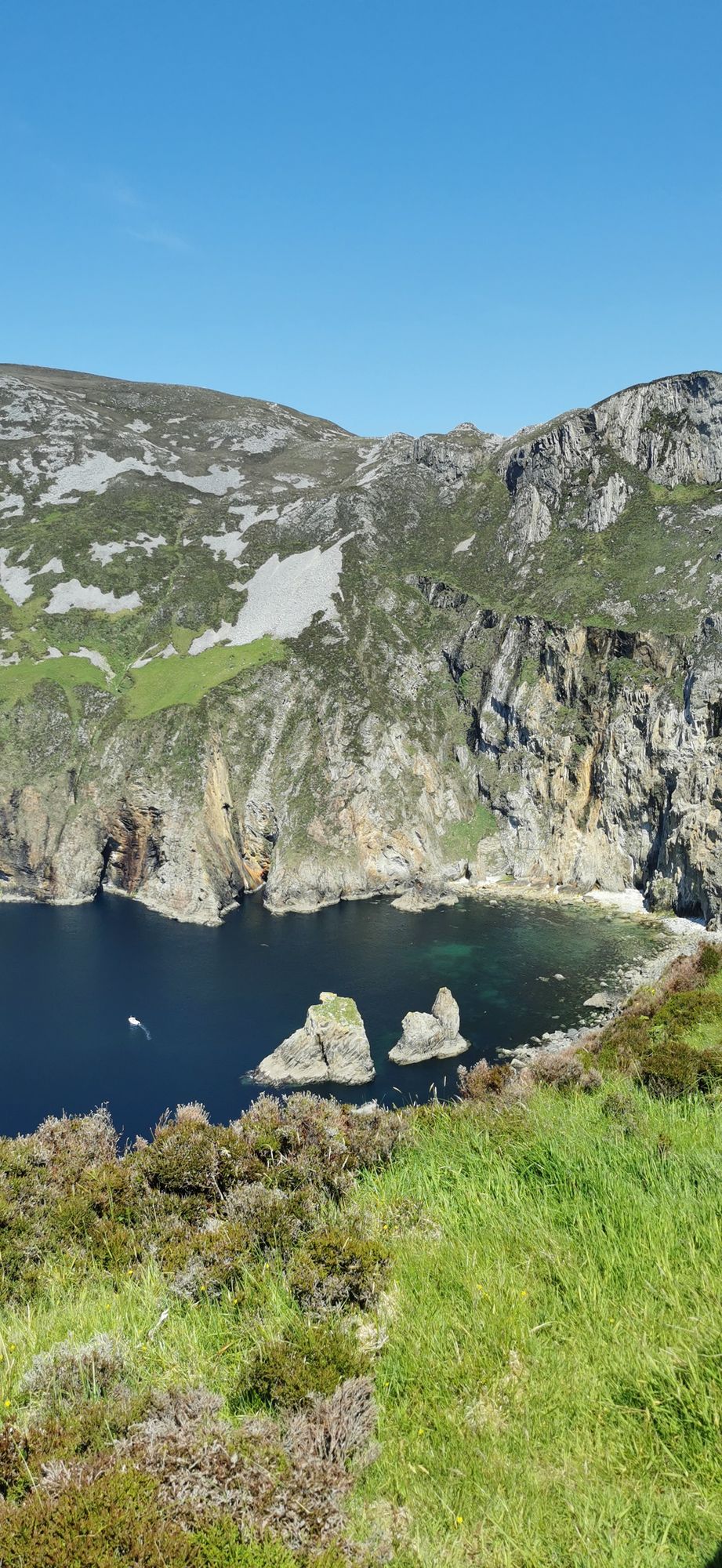
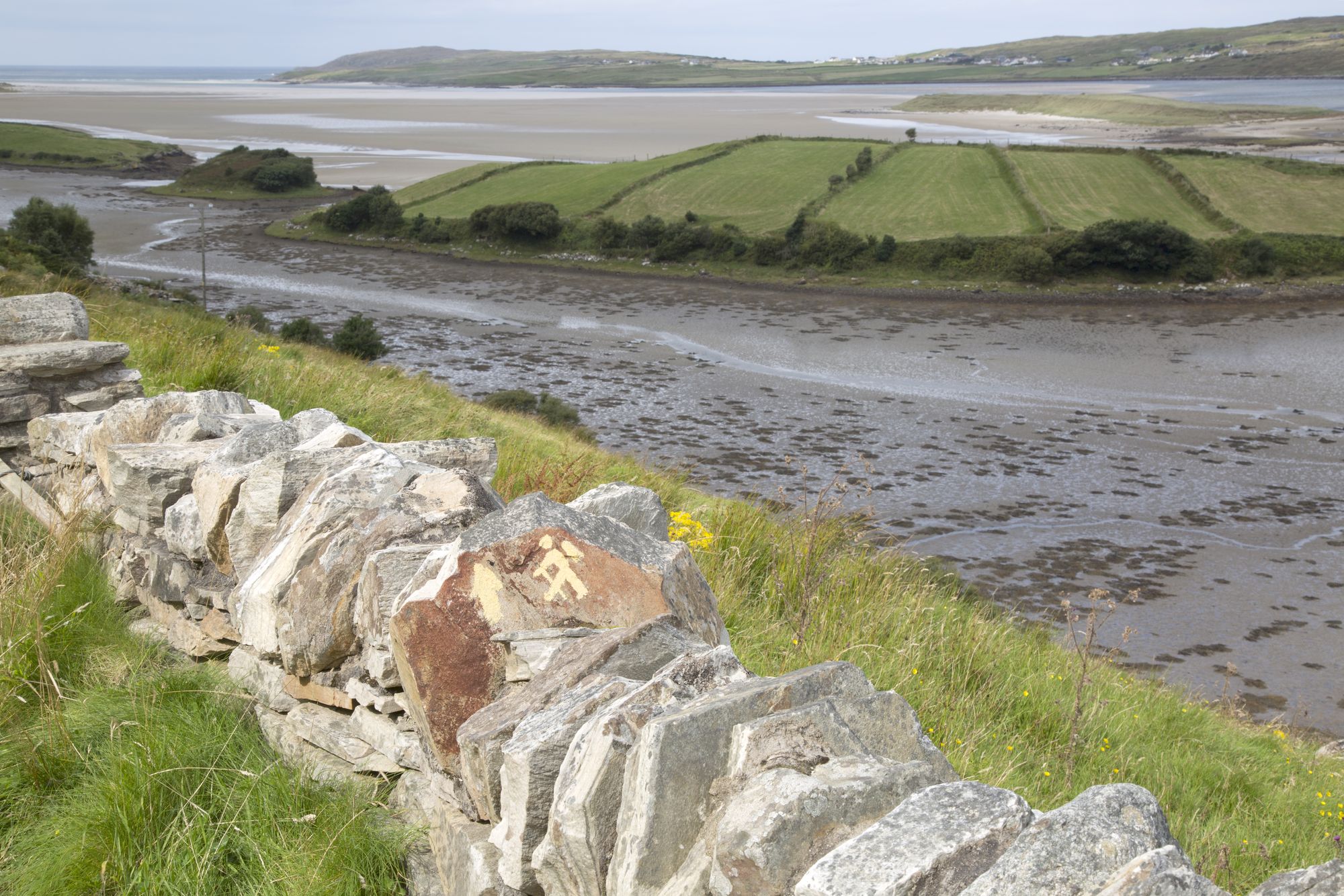
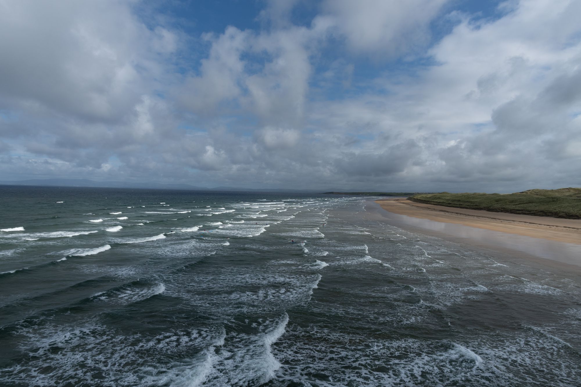
The quartzite peak of Errigal above the small lough at its foot, County Donegal

Walk · Co. Donegal

Errigal

Errigal, the 751-metre high point of County Donegal, rises above Gweedore as the southernmost of the Seven Sisters. The route ascends from the Poisoned Glen, offering a full-day experience with sweeping views of the Derryveagh country.

Errigal, County Donegal — photo by simonizq8

The mountain

Errigal stands at 751 metres. It is the highest peak in County Donegal and the tallest in the Derryveagh Mountains. Locals call the chain the Seven Sisters. Errigal is the southernmost and highest of the group. The other six are Muckish, Crocknalaragagh, Aghla Beg, Ardloughnabrackbaddy, Aghla More and Mackoght. The rest of the range is measured against Errigal. It is the proper day out in this country.

The walk

The standard route begins in the Poisoned Glen on the north side. You climb through the foothills and up the face to the top. The ascent is as good as the view. The ground is open. Weather on the summit often differs sharply from conditions in the village below. In a storm, the face is closed country. The mountain itself decides the difference between a good day and a bad one. Allow a full day for the round trip. Include time on the top.

The country below it

From the top, the Derryveagh country opens out. You see the Seven Sisters to the north. The Derryveagh range stretches to the west. The Poisoned Glen and Dunlewey Lough sit at the foot of the mountain. This view is the reward. It is why people come to Donegal to climb Errigal. Gweedore, Dunlewy and Falcarragh serve as bases. These Gaeltacht villages make the day work.

Practical

Allow a full day. This covers the climb, time on top, and the descent. Start early. Check the forecast before setting out. On this mountain, the weather is the whole story.

Sources and verification

🧭 Get directions

Where to stay

The top of the county

Stay in Gweedore and the mountain is a full day, not an expedition.

  • GweedoreThe village at the foot of the mountain, with stays and the gateway to the Derryveagh country. · 20 min by car
  • FalcarraghThe town to the south-east, for a base that pairs with the walk. · 25 min by car
See stays around Gweedore ↗

See current availability for your dates. Availability and prices come from the accommodation provider, not from us.

More in Donegal

The turquoise sea below the cliff faces of Slieve League in County Donegal
Headland · Co. Donegal

Slieve League

Slieve League in southwest Donegal drops roughly 600 metres into the Atlantic, making it one of Europe's highest sea cliffs. The full scale is best experienced from the foot, reached via a two-hour walk from the Meenaleck car park.

Free to visit; a small parking charge may apply at the car park.· Allow 2–3 hours including the walk to the foot of the cliffs
The village road at Ardara, County Donegal
Village · Co. Donegal

Ardara

Ardara is a small south-west Donegal town on the N56, named by The Irish Times in 2012 as the best village in which to live in Ireland. It serves as a practical base for the Bluestack Mountains and the west coast.

The town and the walks are free; there are no ticketed sites, as last known.
Village · Co. Donegal

Buncrana

Buncrana is Donegal’s second-largest town, sitting on the Inishowen shore of Lough Swilly. It features the historic O’Doherty’s Keep and a rich textile heritage, serving as a practical base for exploring the peninsula.

The town, the esplanade and the keep are free to visit; there is no charge, as last known.
Tullan Strand beach at Bundoran, County Donegal
Village · Co. Donegal

Bundoran

Bundoran, County Donegal’s most southerly town, is a historic seaside resort named after the Doran River. It is a National Geographic top 20 surf town and the site where Mícheál Ó Cléirigh helped compile the Annals of the Four Masters.

The town and the beach are free; the surf schools and the boat trips are paid — check current operators and prices before travelling.