The Burren
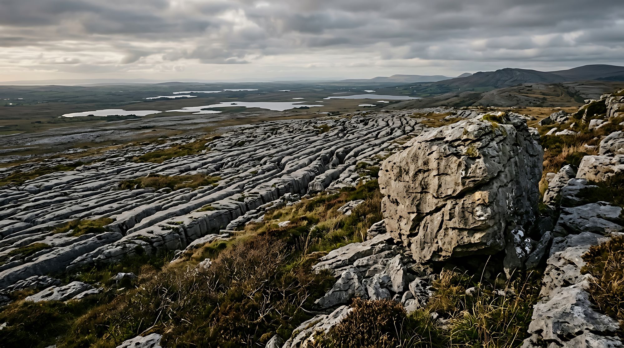
Rain has dissolved the limestone here over millions of years. The result is a 15,000-hectare plain in north County Clare, marked by cracks, hollows, and dry stone walls. It is a UNESCO Global Geopark. The soil is thin and poor, yet it supports a tough, resilient surface.
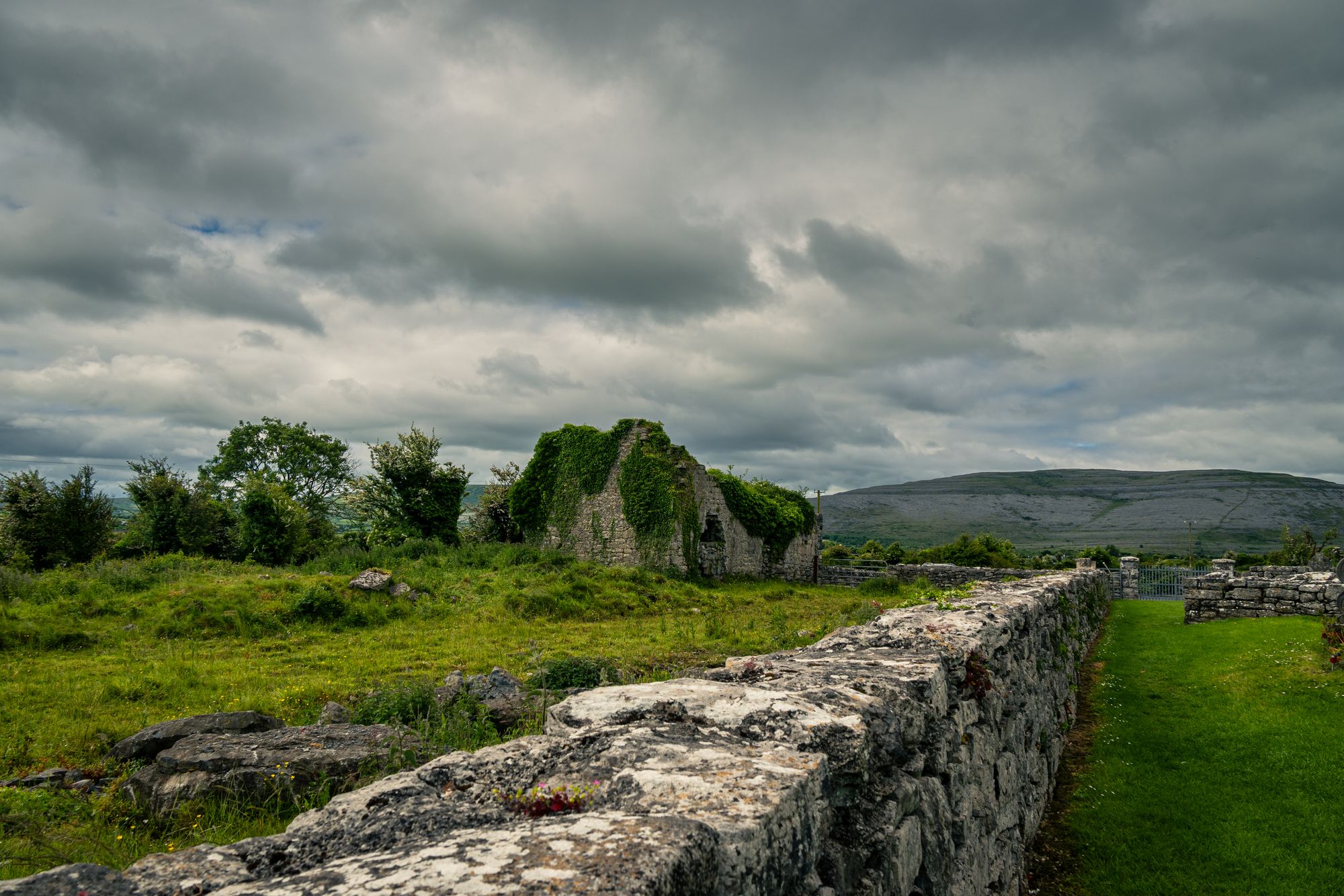
The name comes from an older Irish word. Farming has shaped this land for a very long time. The dry stone walls are the mark of that history. Human and natural elements are so closely joined that it is hard to tell one from the other.
The plants
Botanists love this place. The thin, poor soil and the limestone have produced a dense and varied flora. The number of plant species in a small area is one of the highest in the country. Orchids, gentians, and saxifrages are the best-known. Late spring is a good time for a walk, when the flowers are out.
The walks
The Burren Way is a long-distance walk. This multi-day route follows the length of the Burren and the coast below the Cliffs of Moher. It suits a longer trip. Shorter walks in the Burren take a good half day. The ground is rough. The weather is quick. This is a place for people used to the west coast.
The Poulnabrone dolmen sits here too. This passage tomb is about five thousand years old. It is one of the best-known monuments in the Burren and a good place to start.
When to go
Late spring and early summer offer the best light. The flowers are out, and the days are long. A winter gale makes the Burren at its most dramatic. On a clear day, the view from the top of the Burren is a long one.
Practical
Walking is free. A number of waymarked walks exist, varying in length and difficulty. Check the current status of any path before you set out. The village of Doolin serves as the base for most walkers.