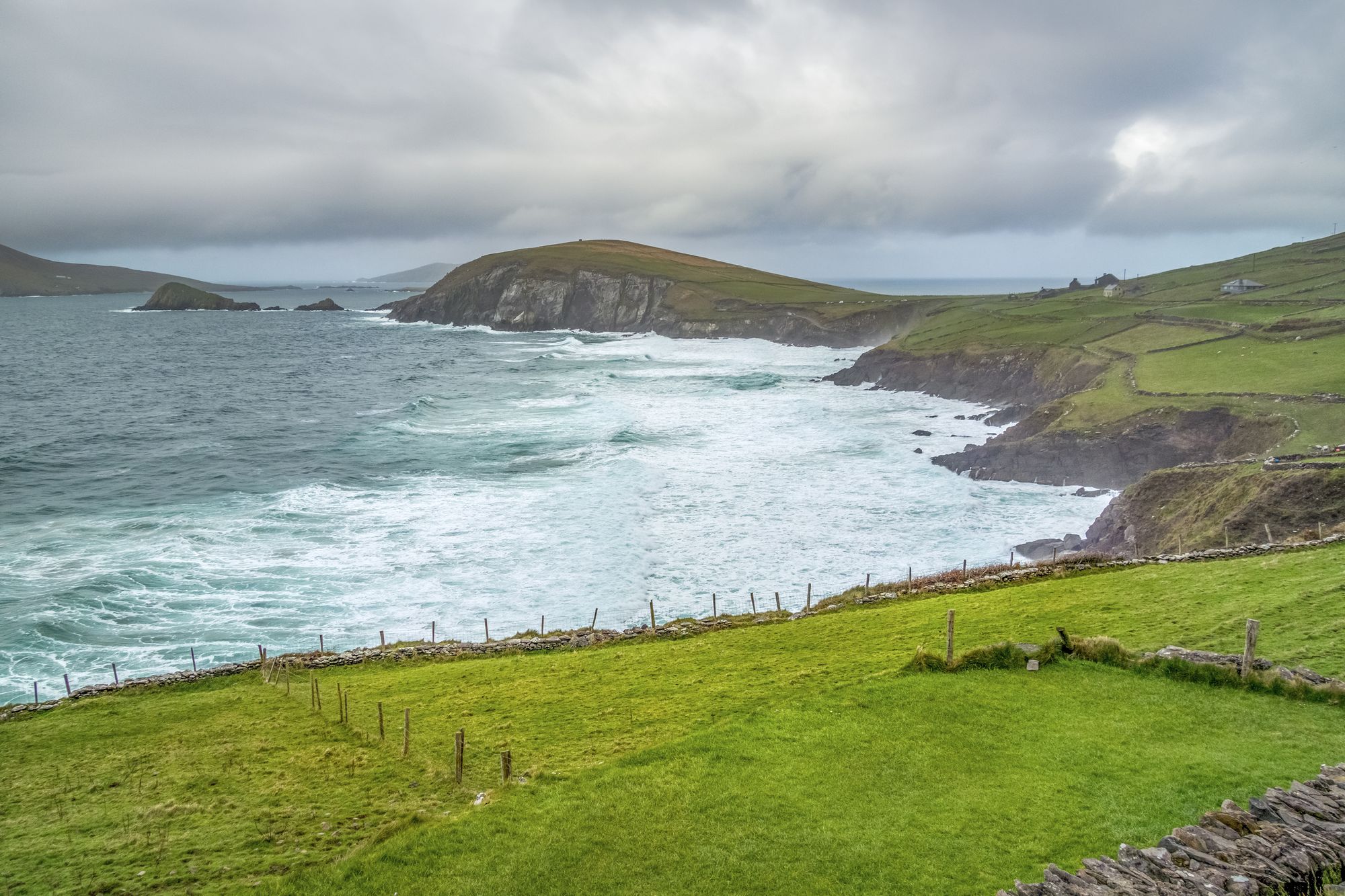
Ausflugsziel · Co. Kerry
Oceanworld Dingle
Oceanworld in Dingle features penguins, sharks, and otters under a glass dome. It is a reliable rainy-day option with daily opening hours and online booking discounts.
Dorf · Co. Kerry
Kenmare, meaning "the little nest," sits at the head of Kenmare Bay where the Iveragh and Beara peninsulas meet. It serves as the base for MacGillycuddy’s Reeks, with the Roughty River flowing through the town centre.
Neidín is the Irish name, which translates to "the little nest." The anglicised version, Kenmare, comes from Ceann Mara, or "head of the sea." This refers to the town's position at the very tip of Kenmare Bay. In 2022, the population stood at 2,566. It functions as both a townland and a civil parish.
The town sits where the bay extends furthest inland. Locals sometimes call this stretch the Kenmare River. The Roughty River (An Ruachtach) empties into the sea right here. Kenmare marks the junction between the Iveragh Peninsula and the Beara Peninsula. It sits near MacGillycuddy’s Reeks, Mangerton Mountain, and the Caha Mountains. This proximity makes it a popular spot for hillwalking. The harbour defines the town layout. The river runs through the street and out to the bay. A walk along the quay is the standard pre-hill ritual.
Kenmare acts as the base camp for MacGillycuddy’s Reeks. This range includes Carrauntoohil, the highest peak in Ireland. It covers the hillwalking country of the Iveragh. Mangerton Mountain and the Caha Mountains lie to the east. The town sits at the head of the bay where all these features converge. A day out can involve the harbour, the Reeks, or the Beara coast. The choice depends on the weather and your legs.
Kenmare is at the head of Kenmare Bay, where the Iveragh meets the Beara. From Killarney, allow roughly an hour by road. The Roughty harbour and the quay are free. The hillwalking country is open land. Check present track conditions before travelling in wet weather.
Übernachten
Kenmare puts the Roughty, the Reeks and the Beara all within a short drive — the hillwalking country is the point.
Aktuelle Verfügbarkeit für Ihre Reisedaten. Verfügbarkeit und Preise stammen vom Anbieter, nicht von uns.
Oceanworld in Dingle features penguins, sharks, and otters under a glass dome. It is a reliable rainy-day option with daily opening hours and online booking discounts.
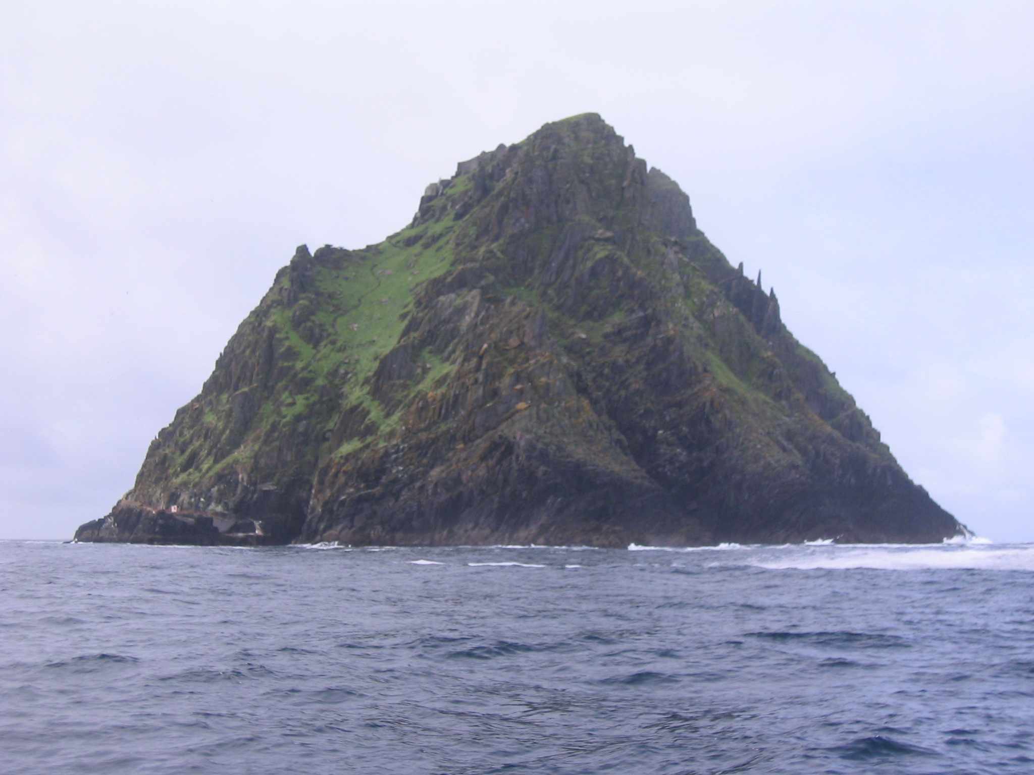
Skellig Michael is a steep, isolated island in County Kerry featuring a sixth-century monastery and beehive huts. It is a UNESCO World Heritage Site accessible only by boat.
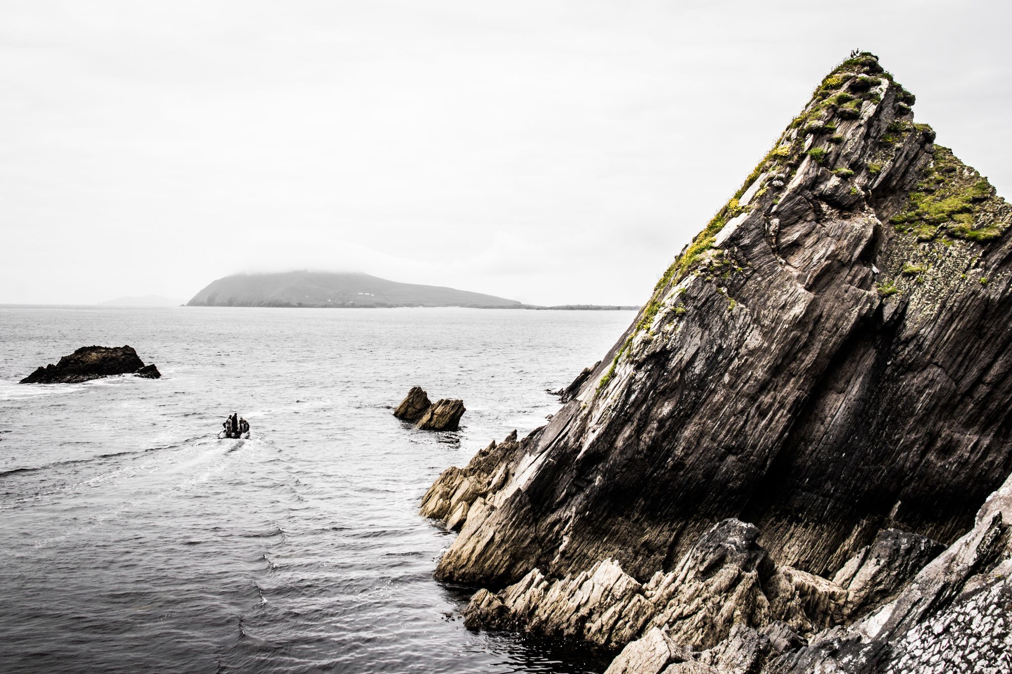
The Blasket Islands, located off the Dingle Peninsula, were home to a community until 1953. Today they serve as a nature reserve and host significant seabird colonies.
Cahersiveen is the main town on the Iveragh Peninsula, located 50 km west of Killarney. It serves as the gateway to local ringforts and the MacGillycuddy’s Reeks.