Ausflugsziel · Co. Kerry
Oceanworld Dingle
Oceanworld in Dingle features penguins, sharks, and otters under a glass dome. It is a reliable rainy-day option with daily opening hours and online booking discounts.
Region · Co. Kerry
Corca Dhuibhne, the northernmost major peninsula in County Kerry, extends to Dunmore Head, the westernmost point of mainland Ireland. It features Mount Brandon at 951 m, the Blasket Islands, and the highest mountain pass in Ireland.
The Dingle Peninsula, County Kerry — photo by achimprill
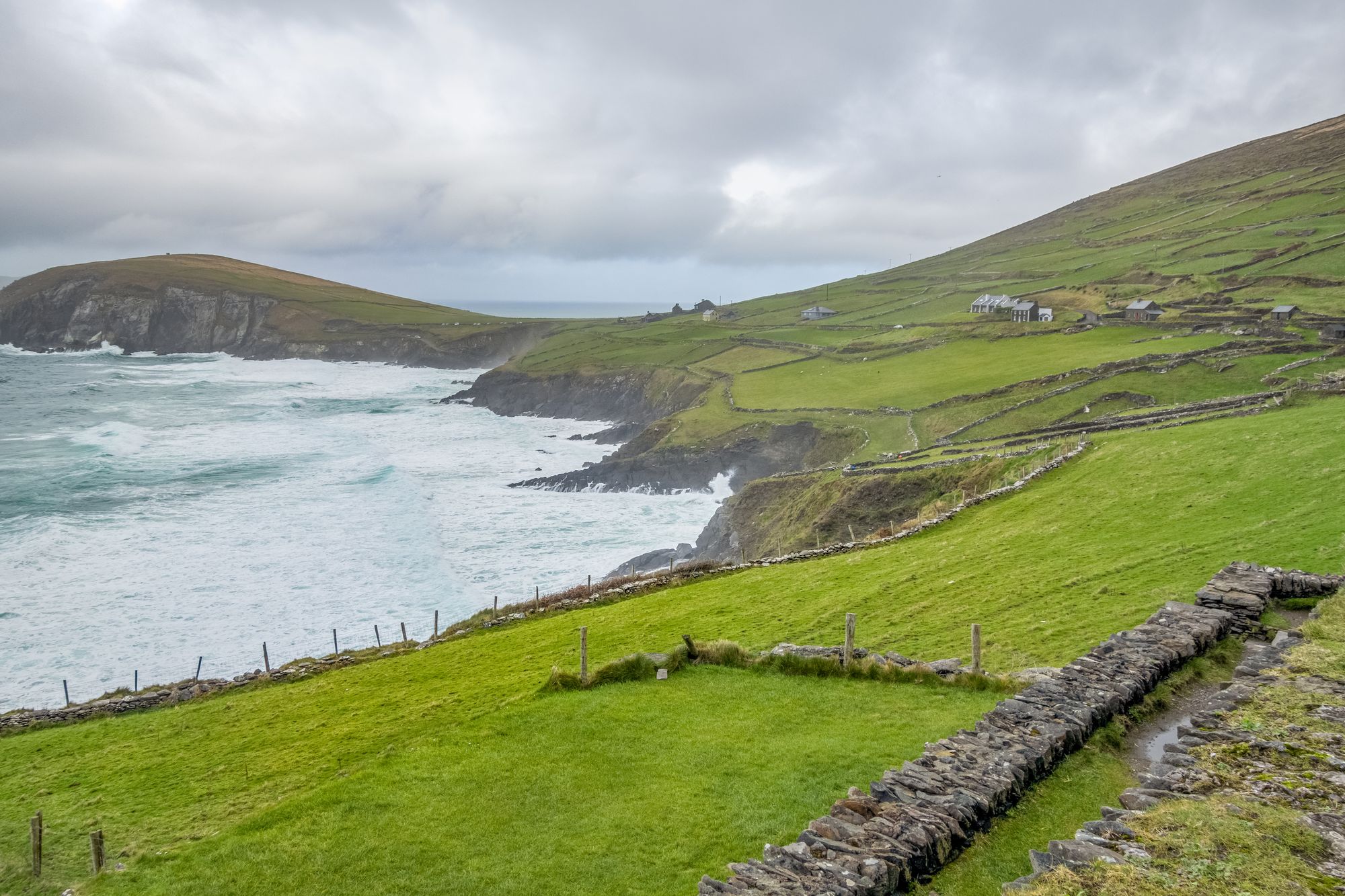
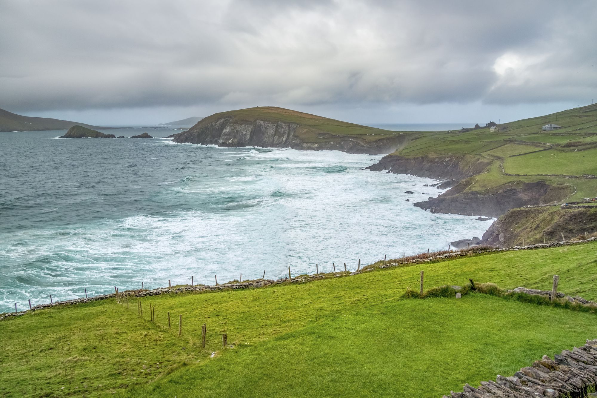
Locals call it Corca Dhuibhne. That is the Irish name, anglicised historically as Corkaguiny, which names the corresponding barony. It is the northernmost of the major peninsulas in County Kerry. The land ends beyond the town of Dingle at Dunmore Head, the westernmost point of mainland Ireland. Dingle Bay separates this stretch from the Iveragh Peninsula to the south.
While the town of Dingle gives the peninsula its common English name, the Irish term carries the weight. Corca Dhuibhne means “seed or tribe of Duibhne”. This refers to the túath who occupied the area in the Middle Ages. They also held a number of territories in the south and east of County Kerry.
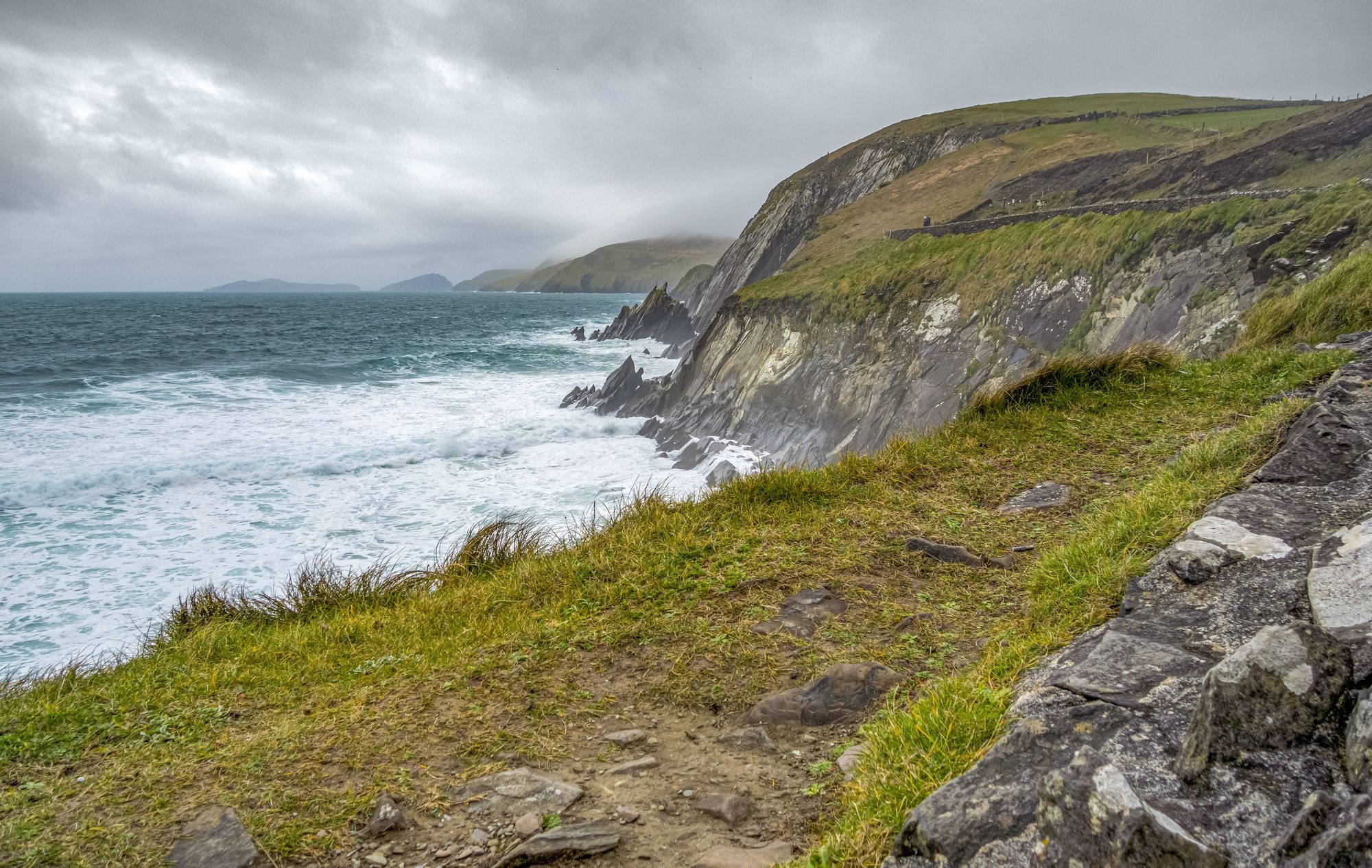
The landscape is defined by its rock. A band of sandstone forms the Slieve Mish mountain range at the eastern neck. Further west, you find the Brandon Group and the Mountains of the Central Dingle Peninsula. Mount Brandon stands at 951 m. It is Ireland’s highest mountain outside the MacGillycuddy’s Reeks. The peak forms part of a high ridge, offering views over the peninsula and North Kerry.
Conor Pass runs from Dingle on the south-western end towards Brandon Bay and Castlegregory in the north-east. This is the highest mountain pass in Ireland. The road weaves around sharp cliff faces. It passes high corrie lakes on the way.
The Blasket Islands sit off the west coast. They are known for the literary and linguistic heritage of their former inhabitants. The islands have been uninhabited since the 1950s following an evacuation. The western end of the peninsula is a Gaeltacht. It has produced and heavily influenced a number of storytellers, poets and writers who are highly important to modern literature in Irish.
Names like Piaras Feiritéar, Máire Mhac an tSaoi, Pádraig Ó Siochfhradha, Cáit Feiritéar and Peig Sayers come from this soil. It is the westernmost part of Ireland. The village of Dún Chaoin is often jokingly referred to as “the next parish to America.”
Most visitors base themselves in the town of Dingle. The peninsula suits a longer trip. Head west to Slea Head and the Blaskets. Go north to the Brandon country. In between, you have the oratory and the wall country. Allow two or three days for the full circuit. The light will do the rest.
Übernachten
Dingle is the base; Slea Head and the Blaskets to the west, the Brandon country to the north — two or three days for the full circuit.
Aktuelle Verfügbarkeit für Ihre Reisedaten. Verfügbarkeit und Preise stammen vom Anbieter, nicht von uns.
Oceanworld in Dingle features penguins, sharks, and otters under a glass dome. It is a reliable rainy-day option with daily opening hours and online booking discounts.
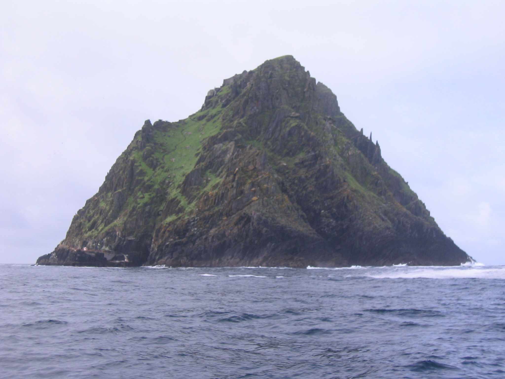
Skellig Michael is a steep, isolated island in County Kerry featuring a sixth-century monastery and beehive huts. It is a UNESCO World Heritage Site accessible only by boat.
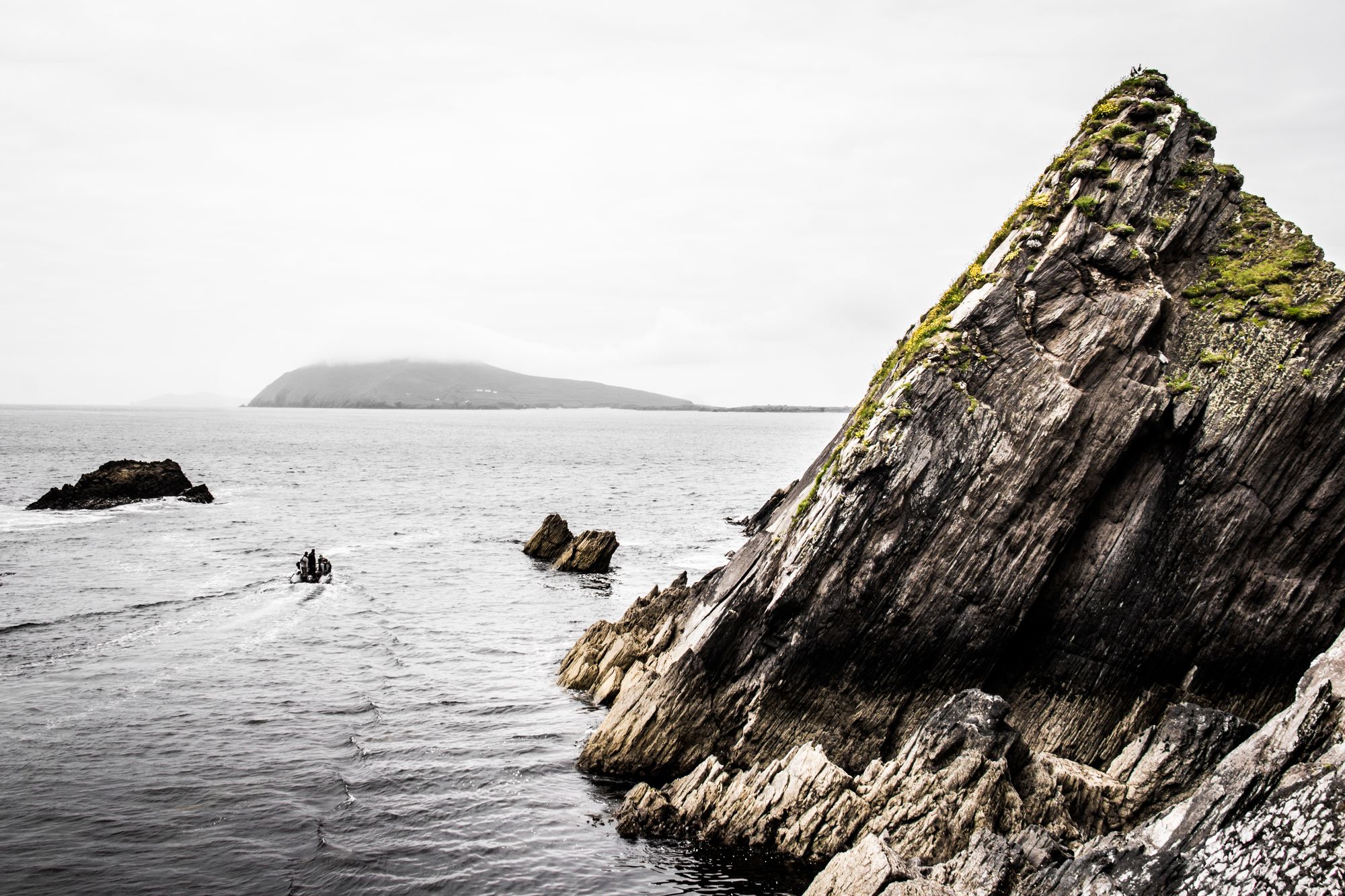
The Blasket Islands, located off the Dingle Peninsula, were home to a community until 1953. Today they serve as a nature reserve and host significant seabird colonies.
Cahersiveen is the main town on the Iveragh Peninsula, located 50 km west of Killarney. It serves as the gateway to local ringforts and the MacGillycuddy’s Reeks.